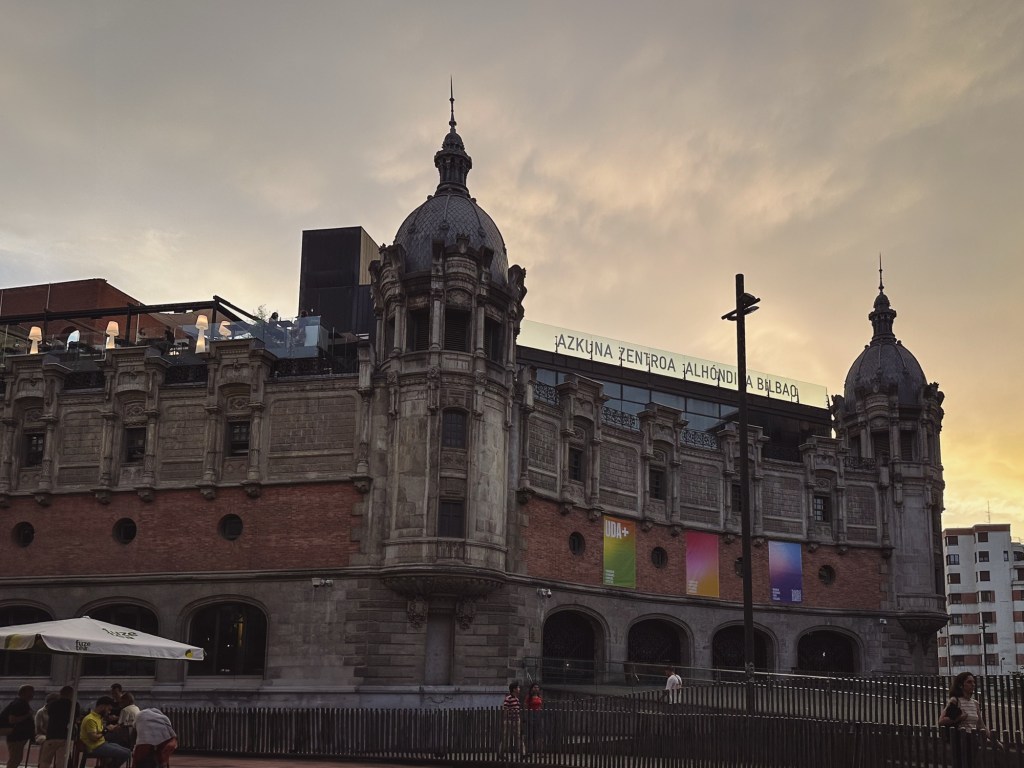
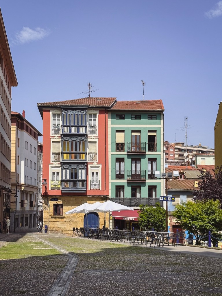
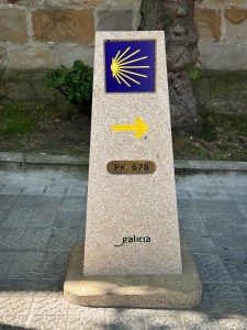
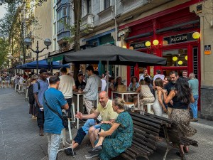
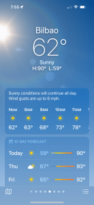
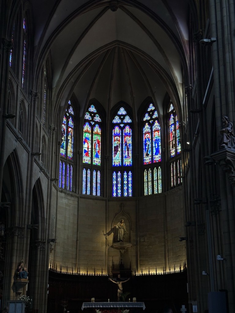
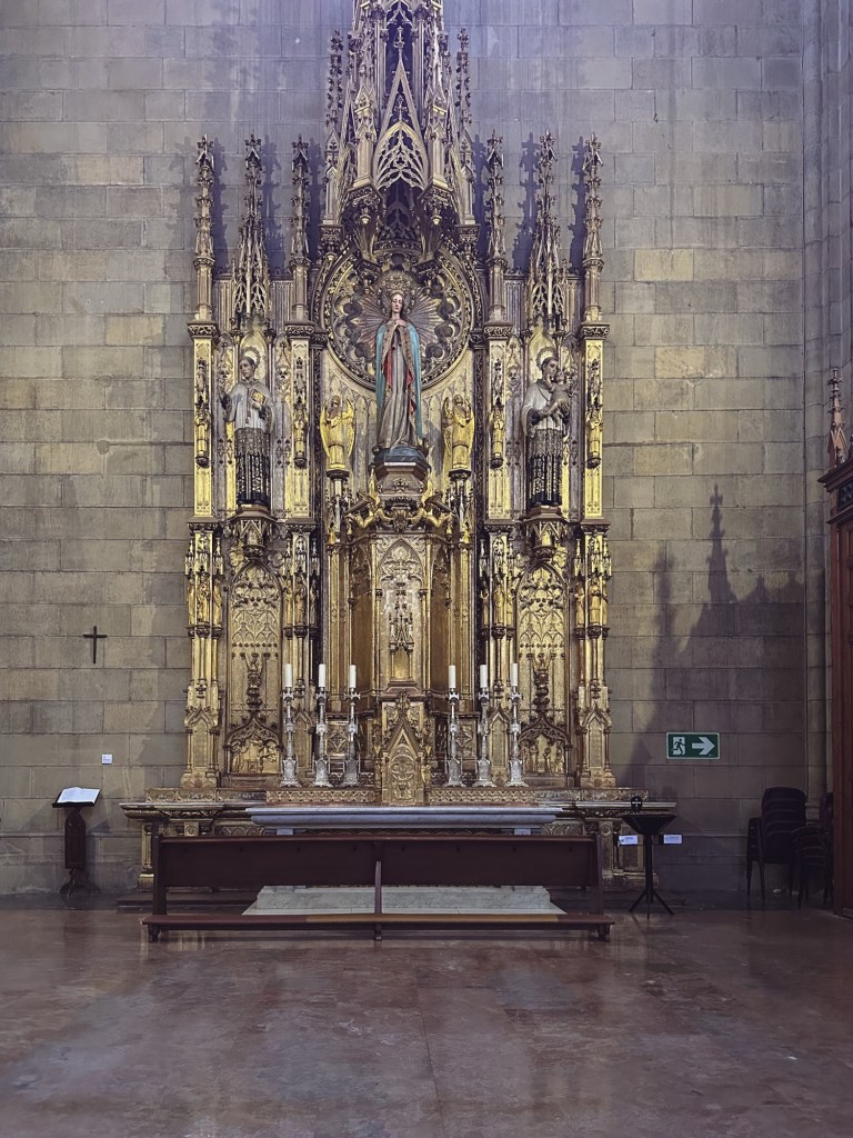
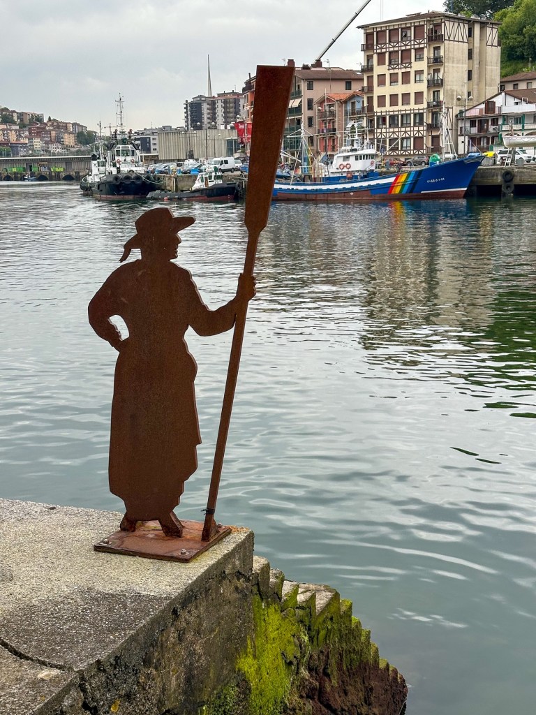
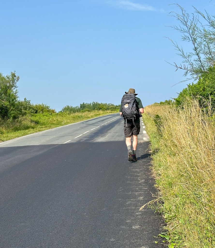
Day 10: Bilbao to Portugalete – 8.32 miles (13.38 km)
Today marked Bilbao’s hottest day of the heatwave, with temperatures soaring to 99°F (37°C).
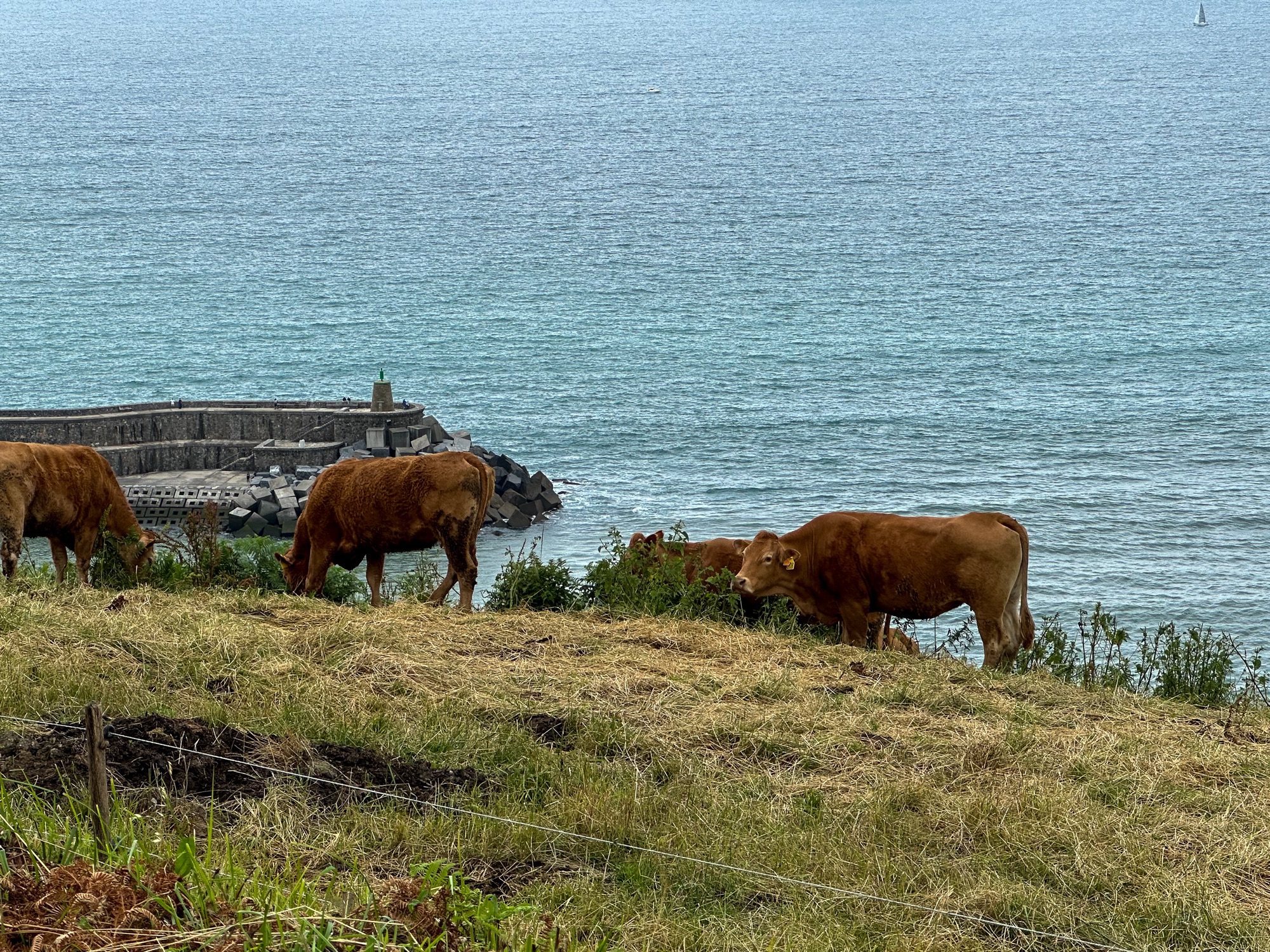
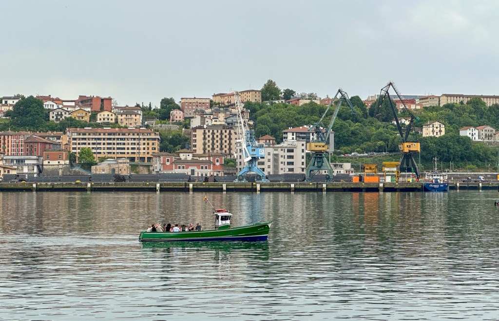
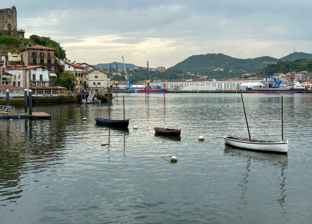
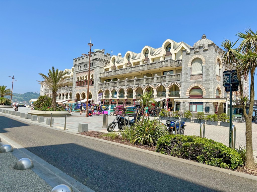
We set out early, starting our walk at 8:15 AM to ensure we reached Portugalete before the midday heat set in. Fortunately, it was a short hike—just eight miles—and much of the route followed the river. The water and occasional breeze made the rising heat a bit more bearable.
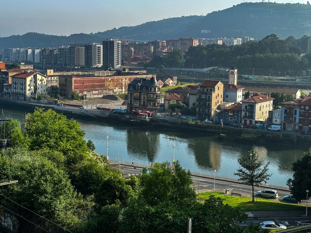
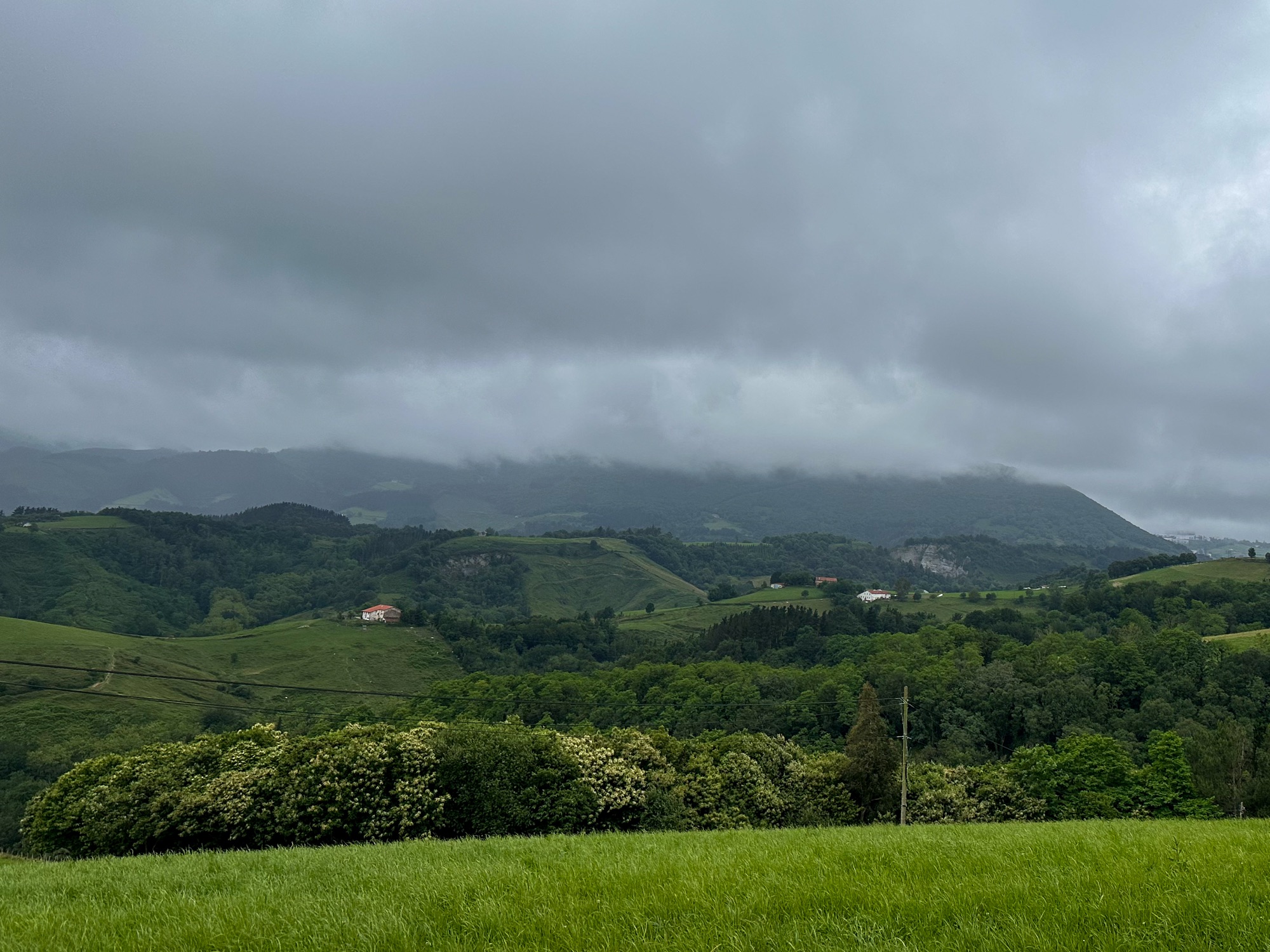
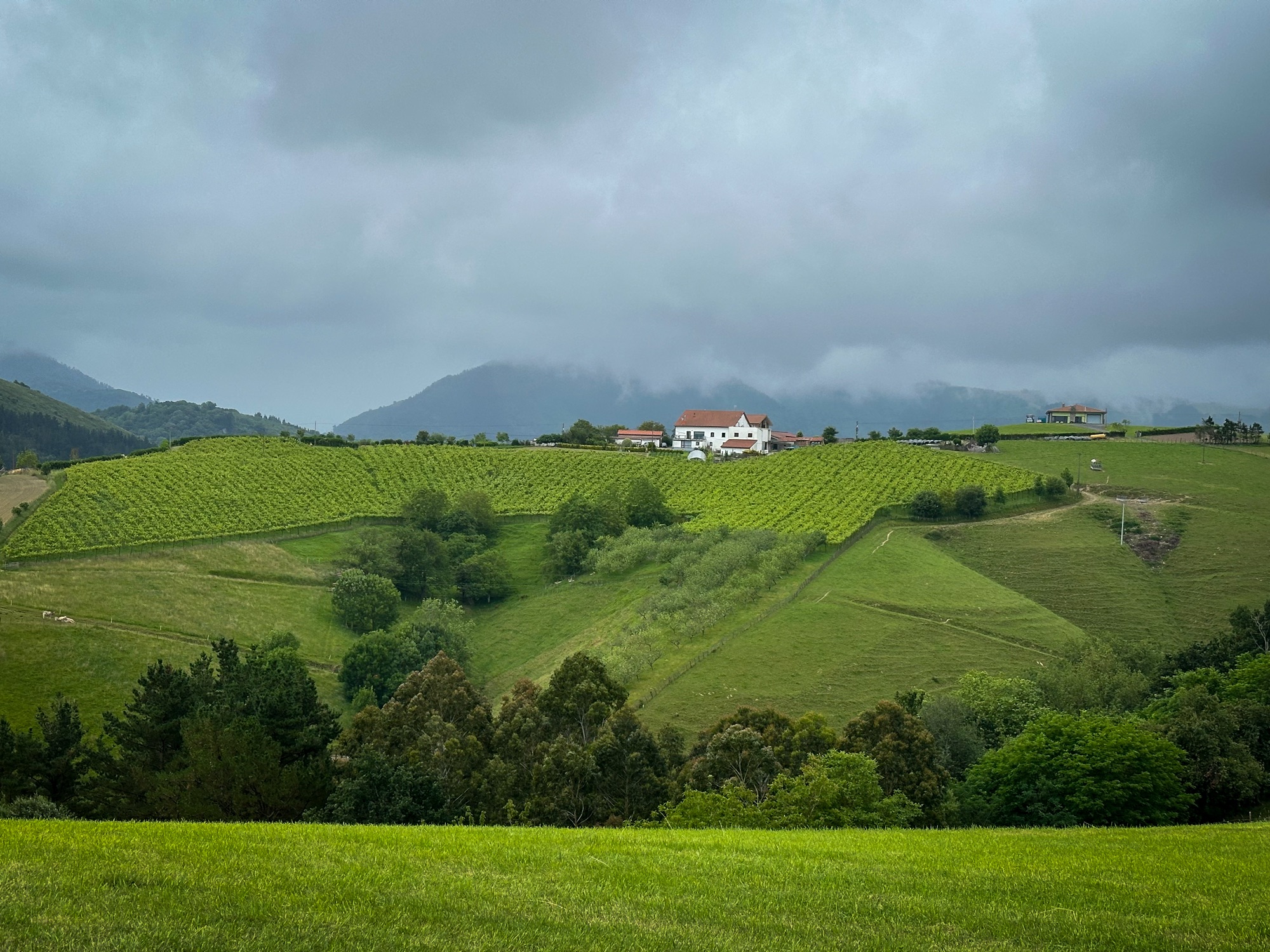
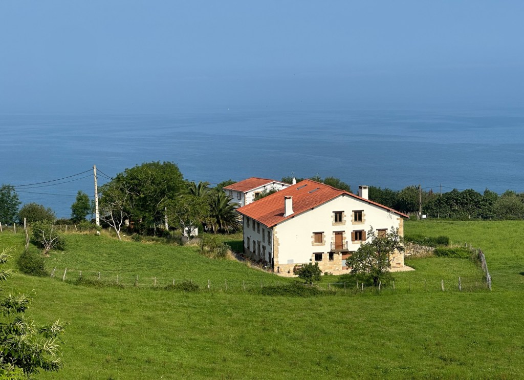
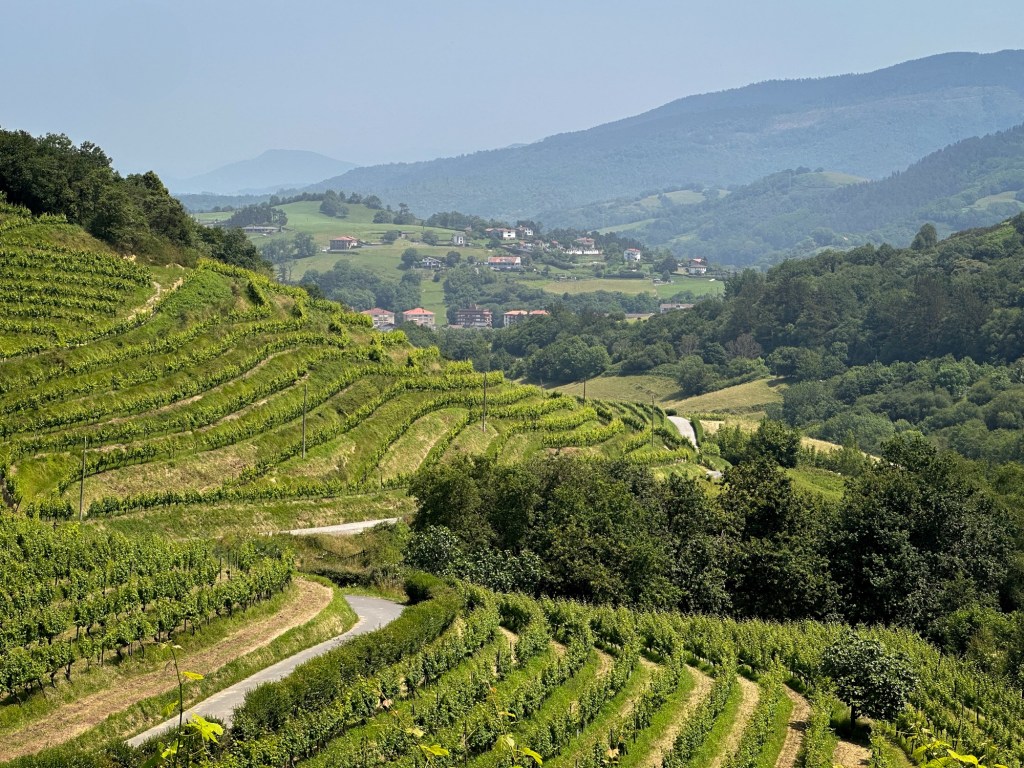
Today’s hike to Bilbao was short, which we appreciated, especially because we reached our hotel before the temperature increased. Along the way, we enjoyed beautiful views: rolling green hills and occasional glimpses of the city skyline in the distance.
Last night, at dinner at Pintxo Bar in Gernika, we ran into Thomas. He shared that he had to stop hiking on his doctor’s advice. He’s heading back to Amsterdam, hoping to return someday to complete El Camino.
Today’s hike was easy and pleasant. We met several other pilgrims along the way and enjoyed chatting with them.
We are walking in the Basque Country of northern Spain. Today, we are walking toward Gernika (or Guernica), a town of historical significance. During the Spanish Civil War, the city was bombarded by Nazi German and Italian Fascist forces in 1937. This attack inspired Pablo Picasso’s iconic painting Guernica. Picasso’s artwork captures the atrocities of the attack. Since we start walking in the Basque Country, there is information about the civilians who died in the battles between the Nationalists and the Republicans; sometimes the information is in the forests or the towns. Years ago, I learned about the plight of the people trying to escape Spain and being detained in France. Some of my friends’ grandparents were in detention camps before they were granted permission to travel to Mexico.
It is important to remember that less than a century ago, people were using these trails to escape a fascist government.
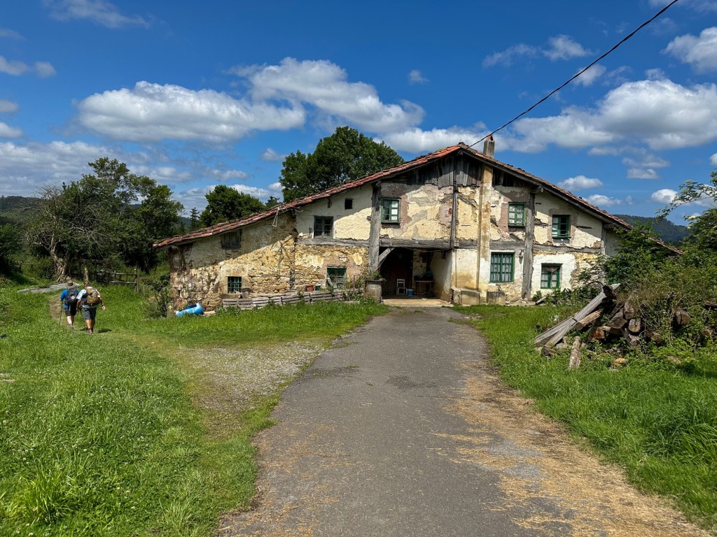
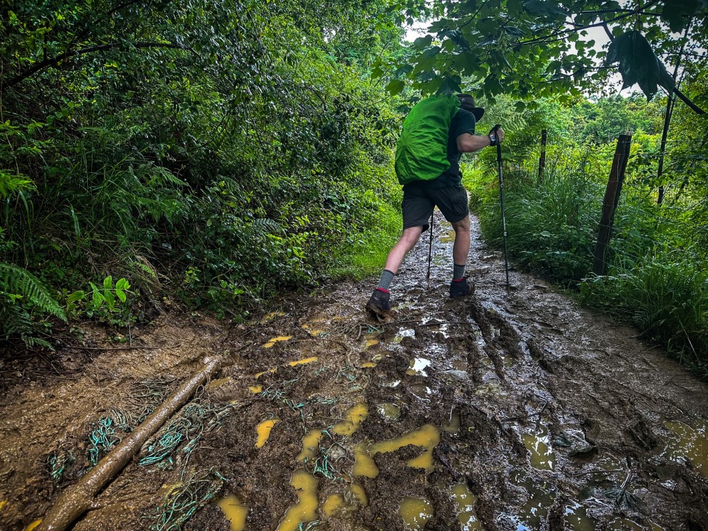
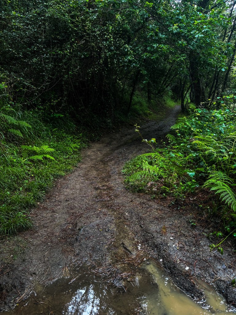
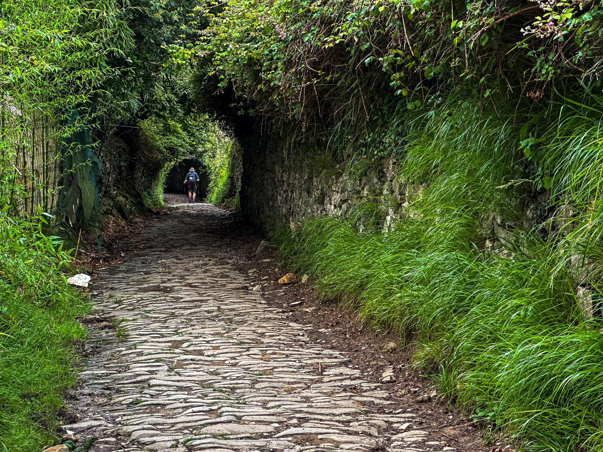
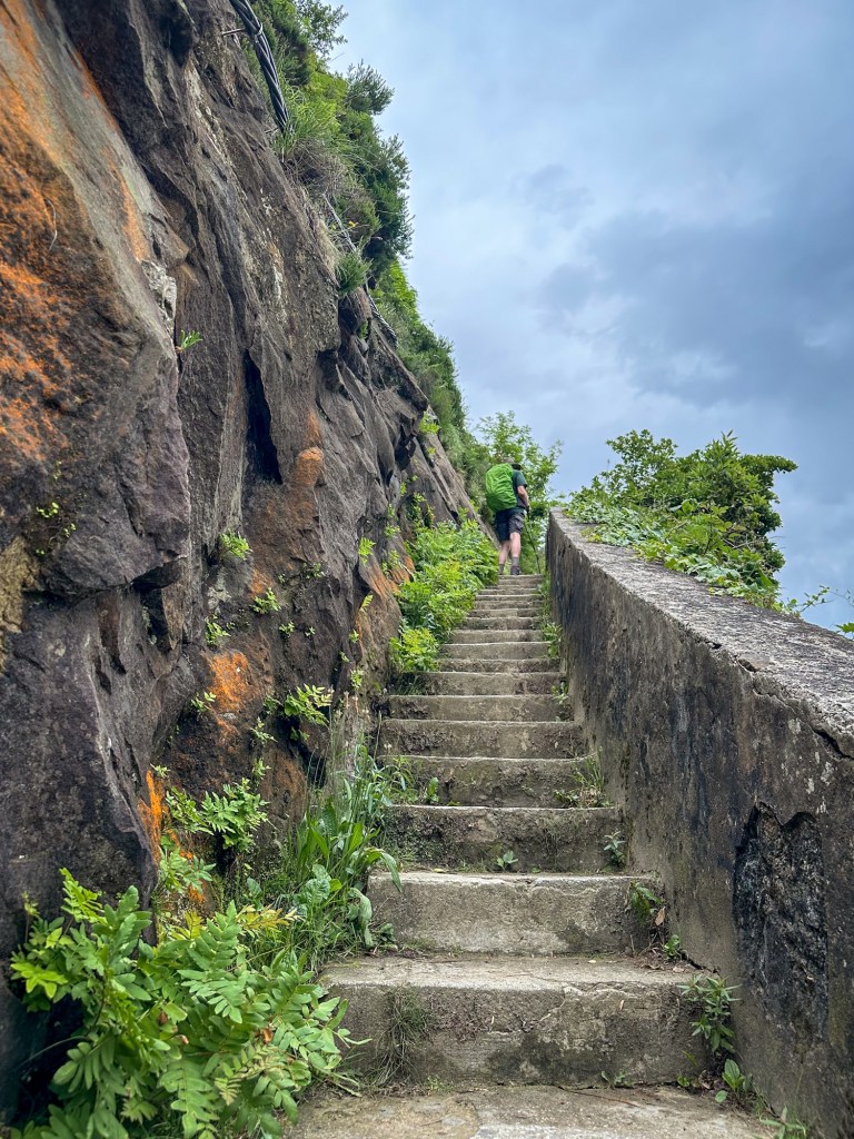
This has been the most challenging Camino so far. We’ve come to understand that towns are either at sea level or in valleys. So, to leave a town, we have to climb the mountain, and to arrive, we must descend it. Some of the descents have been dangerous because they are steep. One of the most dangerous downhills was when we arrived in Deba during a storm. The road was extremely slippery because of the rain and the oil from the cars, so we had to descend slowly to avoid falling. After that, we reached the top of the stairs and continued our descent into the town.
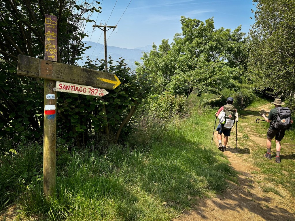
The Camino continues to test our endurance, resilience, and adaptability.
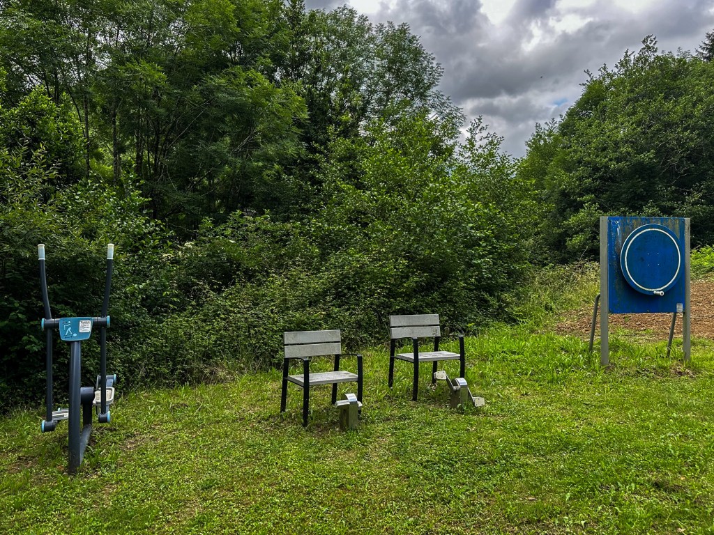
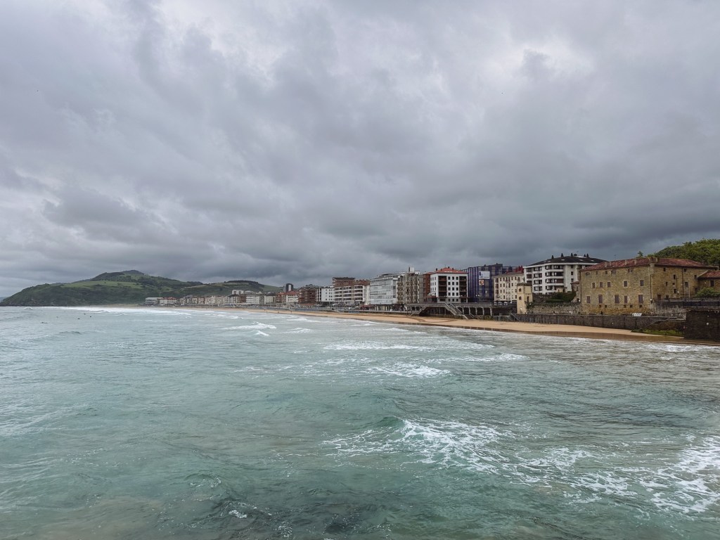
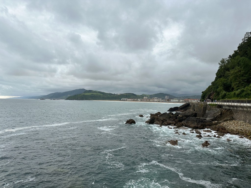
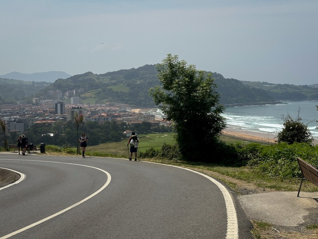
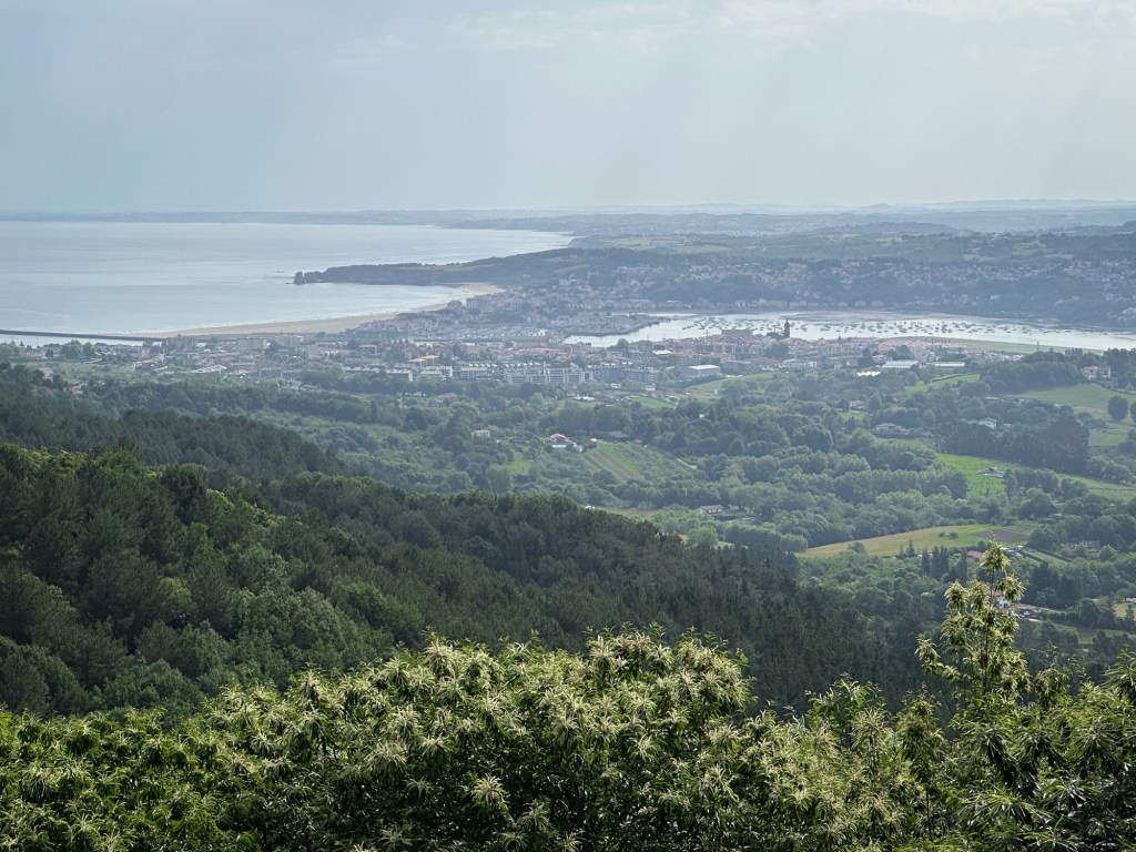
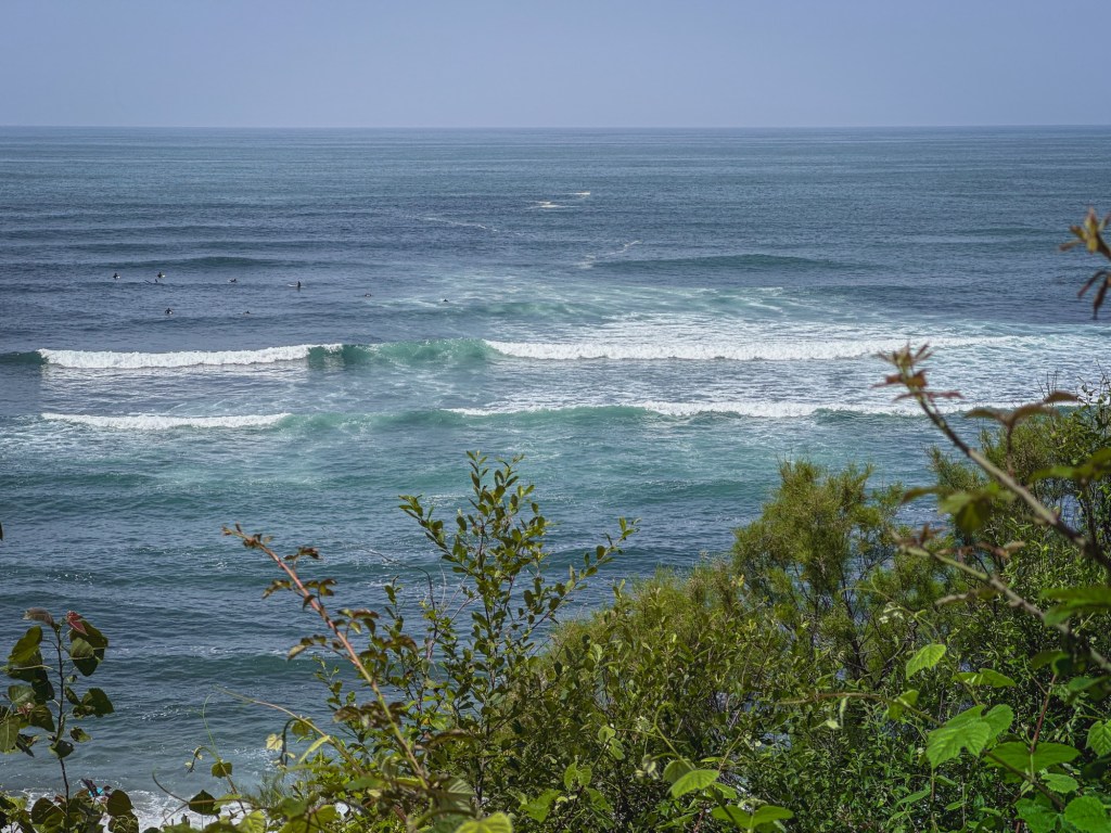
Zarautz beach is the longest in the province, about 2.5km long. It is very popular with surfers. Today is Saturday, and the locals are outside exercising. I wish the SF Bay Area had corridors where we could exercise and socialize. I find this attractive in Spain: people of different ages outside walking, biking, running, etc.
This morning, we found a young pilgrim struggling to walk. Thomas from the Netherlands had a bad fall the day before, a few miles from San Sebastian, his hiking poles got stuck in high grass, and he fell, hitting one of his knees on a rock. After his accident, walking was difficult, but going down the hills was painful. We walked with him to assess how bad he was and give him some advice. El Camino del Norte was his first experience walking to Santiago. By the time we arrived in the town of Zumai, he had already made up his mind to take the bus to the next town. We said goodbye to him and Buen Camino. Maybe we’ll see him again.
Day 4: San Sebastian to Zarautz 13.29 miles (21.38 Km)
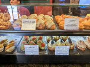
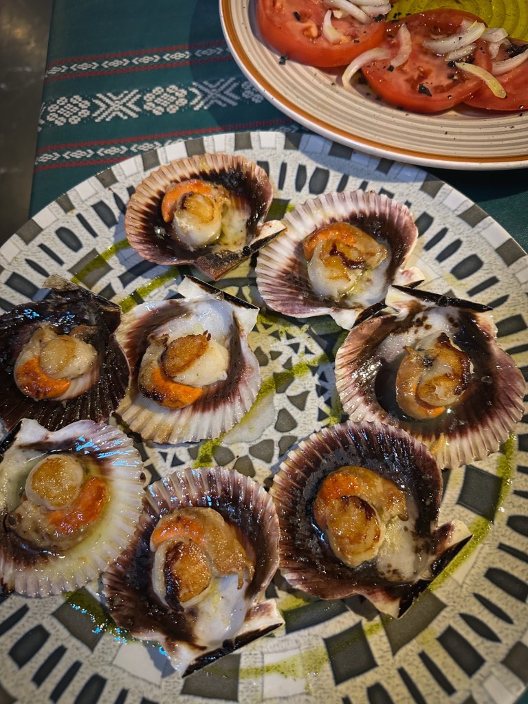
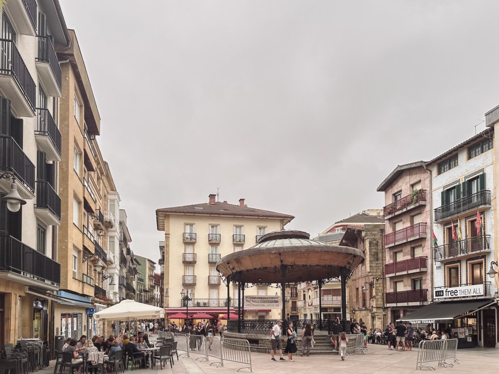
We spent an extra day in San Sebastian and had a nice dinner in a local restaurant. San Sebastian is known for its food scene.
On our way to Zarautz, we stop in an albergue for coffee. The 12 Tribes organization owns this place, and the people running it take donations for their services.
Here, we had the opportunity to talk with other pilgrims and meet Jonathan from Oklahoma. We walked with him to Zarautz and learned about his job in Tulsa. Like me, he believes in equity in education. We had a fantastic conversation. He has a big QR code hanging outside his backpack that links to the school where he works, which helps students from challenging environments.
In Zarautz, we said goodbye and Buen Camino. Maybe we will see him again, but at least I have information about the school he supports.
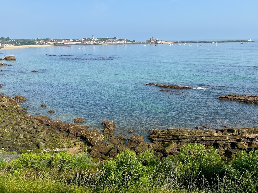
Day 3: Hondarribia to San Sebastian, 18 miles (29 Km)
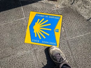
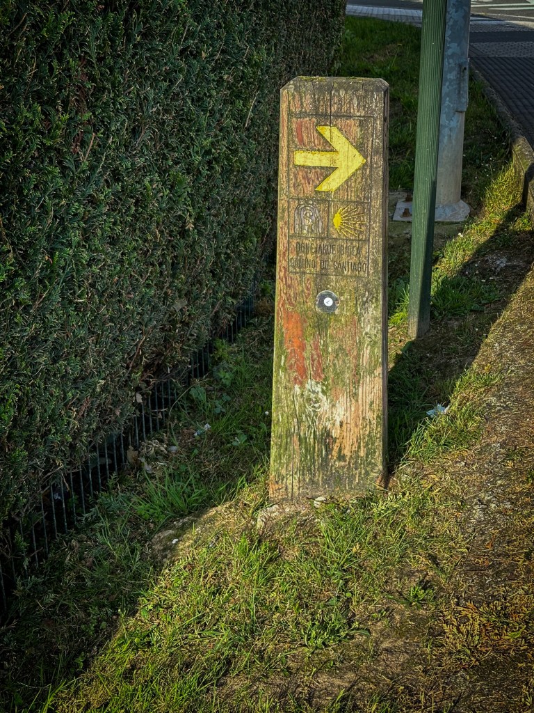
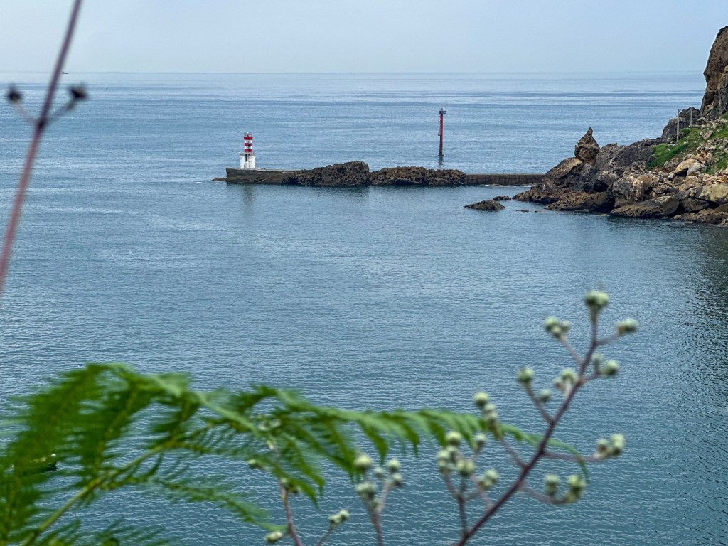
Today, we started walking on the official route to the Cathedral of Santiago de Compostela. We left Hondarribia and began climbing the Basque mountains, with our first stop at the Santuario de Guadalupe, home of the Black Virgin. From there, we hiked about 8 miles on a steady climb and descent through the mountain range until we reached Pasaje de San Juan, where we took a ferry to Pasaje de San Pedro to continue our hike to San Sebastian.
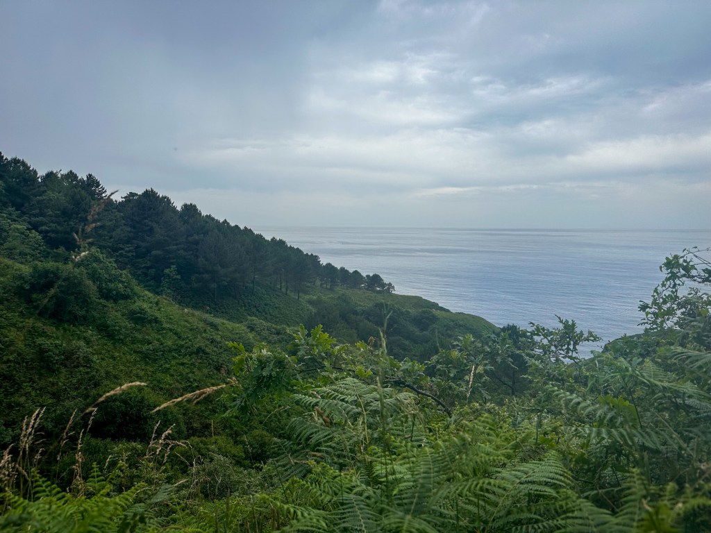
We followed the official route until we reached an intersection with two arrows—one indicating the official route and the other the alternative route. At this point, we didn’t have internet reception, and some locals suggested we take the alternative route because it was more scenic, while the official route led us toward the freeway. Remember our first two days on the French side? So, we decided to follow their recommendation. The alternative path offered beautiful ocean views but added three miles to our journey. As a result, we ended up hiking 18 miles instead of 15, arriving in San Sebastian after 5 PM.
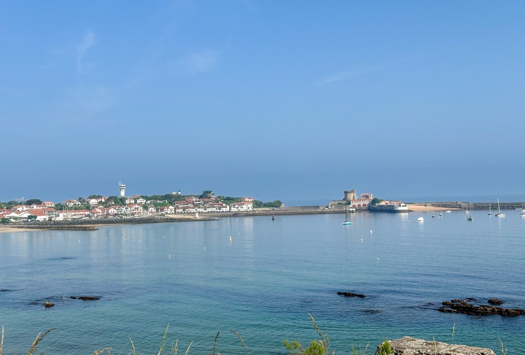
Stage 2: Saint Jean de Luz to Hondarribia, 9 miles (14.484 Km).
We began the hike today at Église Saint Jean Baptiste, where we received the second stamp on our pilgrim credentials.
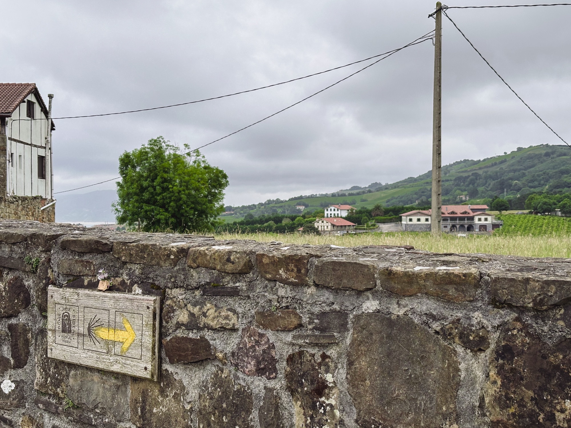
We followed a map from the All Trails app to walk toward the Spanish border. Someone had previously completed this route and shared the map on the app. It proved helpful, as we spotted some El Camino markers along the trail. However, we encountered some challenges: the grass along the route was overgrown, and some sections were closed due to landslides, forcing us to walk along the freeway.
Finally, when we arrived at Domaine d’Abbadie, we enjoyed a pleasant walk to the sea. I should mention that a heat wave has affected the area for the past two days, with temperatures ranging from 75 to 80 degrees Fahrenheit and humidity at 90%. Walking on the asphalt felt like being in an oven.
Upon reaching the town of Hendaye, we took a ferry to cross into Spain, we wanted to avoid walking to Irún in the heat and on the asphalt.