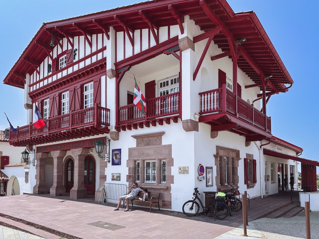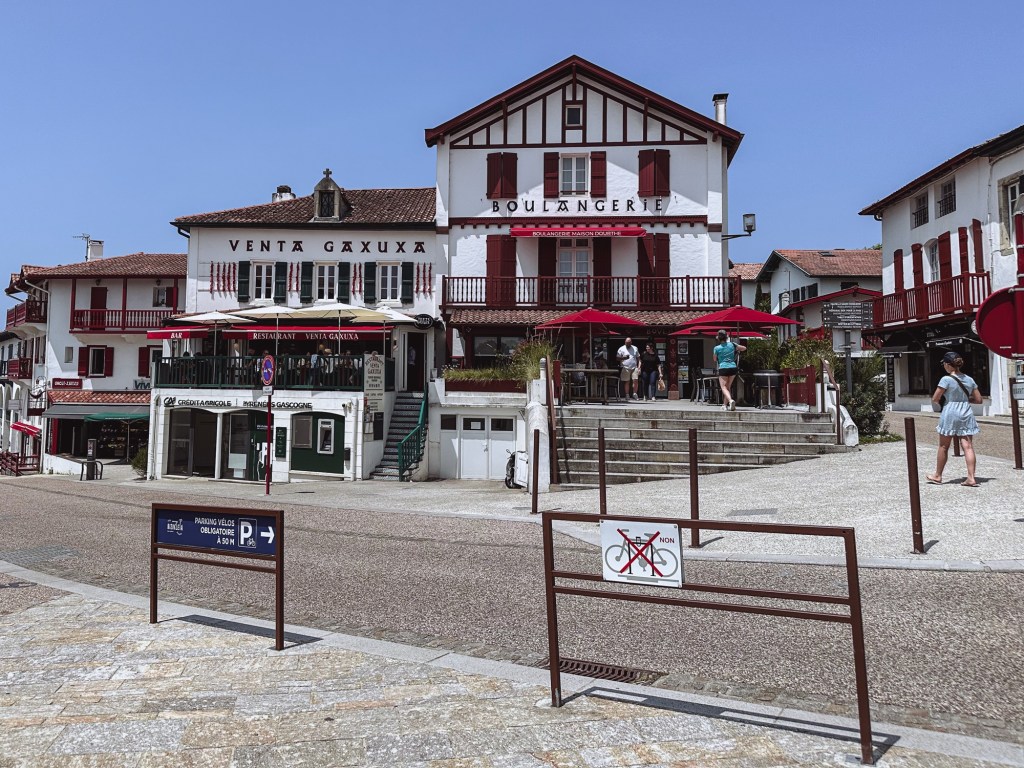
Stage 2: Saint Jean de Luz to Hondarribia, 9 miles (14.484 Km).
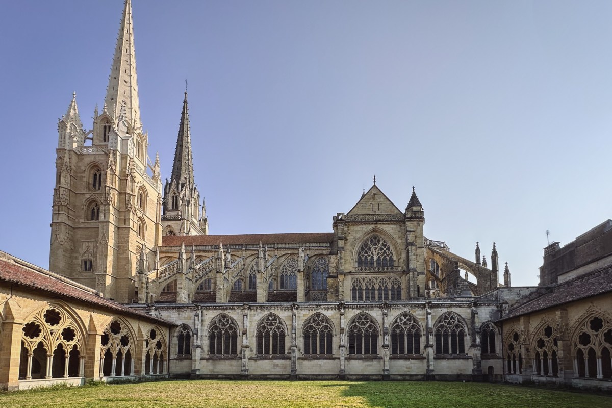
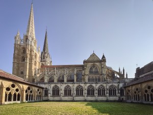
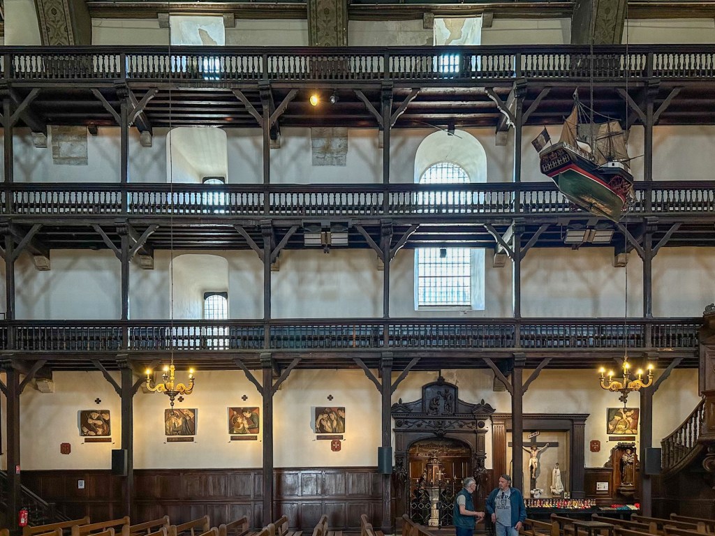
We began the hike today at Église Saint Jean Baptiste, where we received the second stamp on our pilgrim credentials.

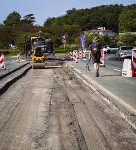
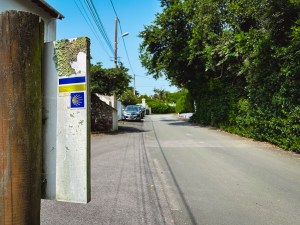
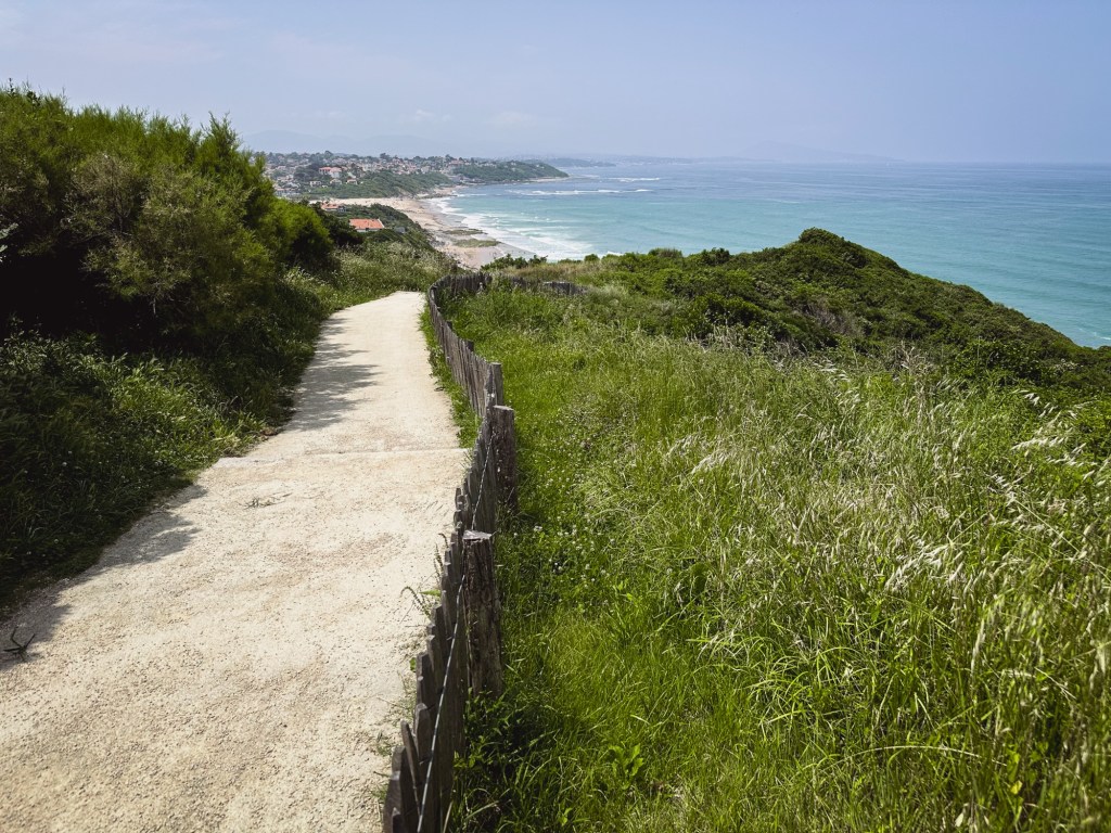
We followed a map from the All Trails app to walk toward the Spanish border. Someone had previously completed this route and shared the map on the app. It proved helpful, as we spotted some El Camino markers along the trail. However, we encountered some challenges: the grass along the route was overgrown, and some sections were closed due to landslides, forcing us to walk along the freeway.

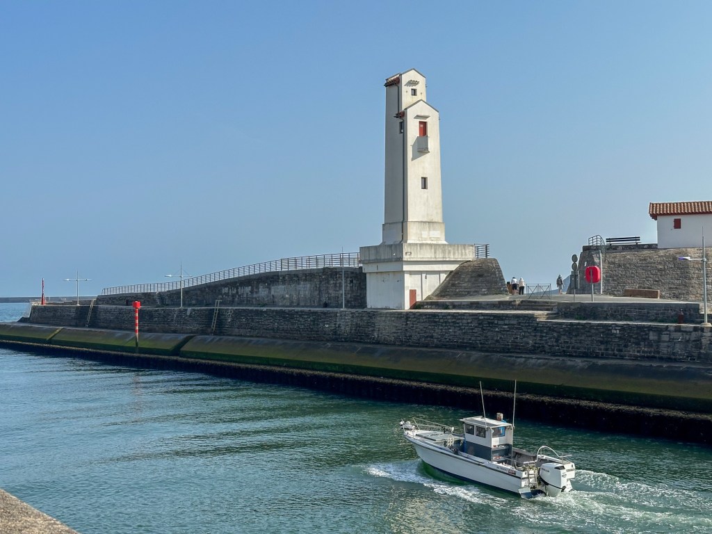
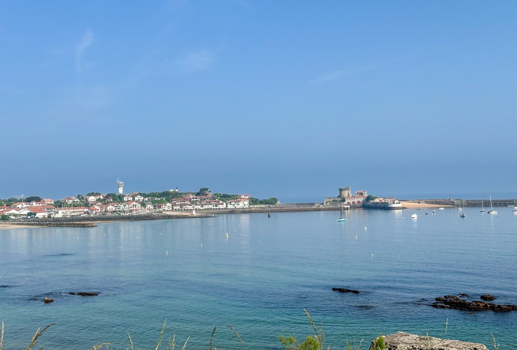
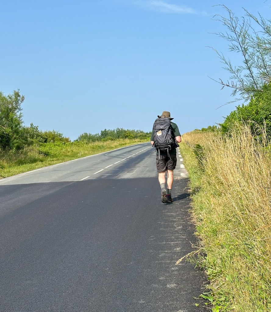
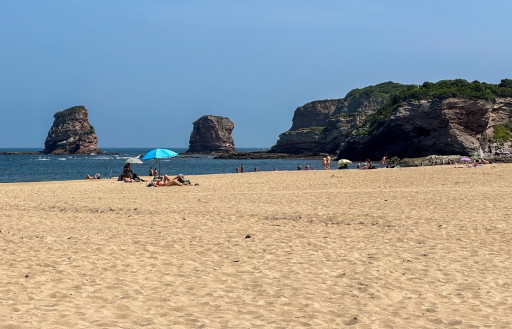
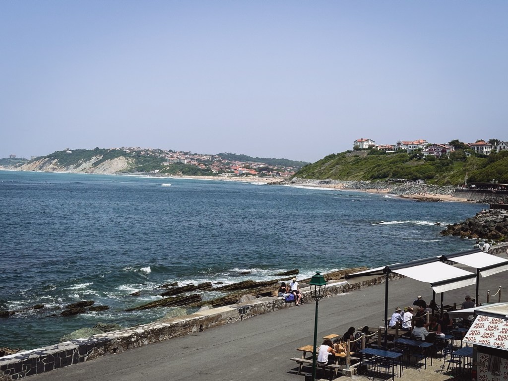
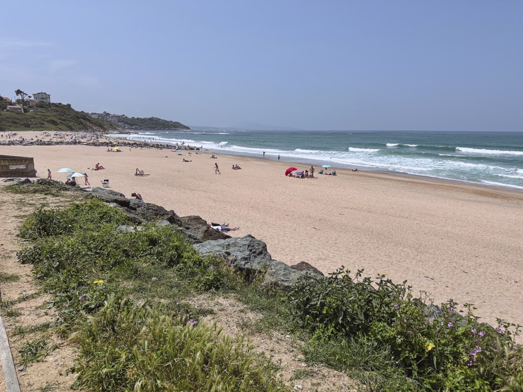
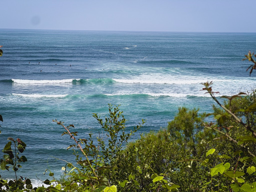
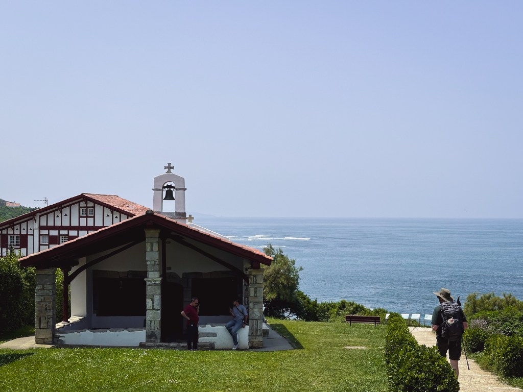
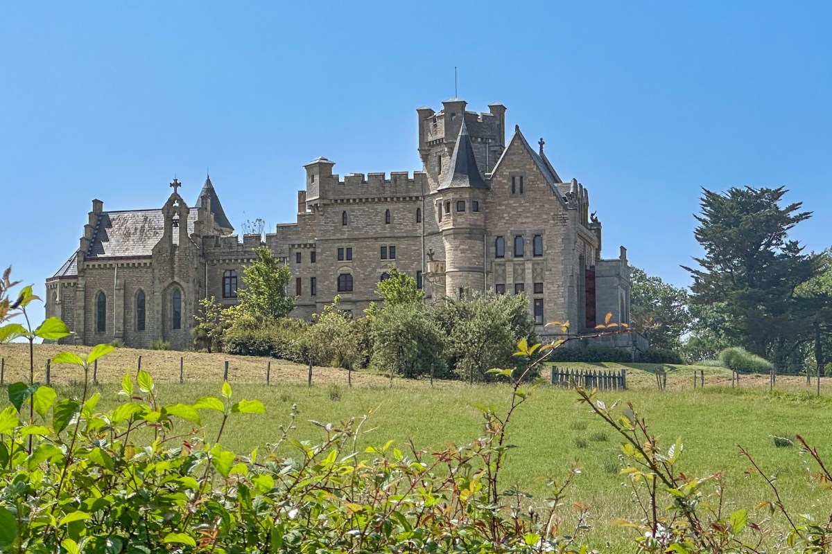
Finally, when we arrived at Domaine d’Abbadie, we enjoyed a pleasant walk to the sea. I should mention that a heat wave has affected the area for the past two days, with temperatures ranging from 75 to 80 degrees Fahrenheit and humidity at 90%. Walking on the asphalt felt like being in an oven.

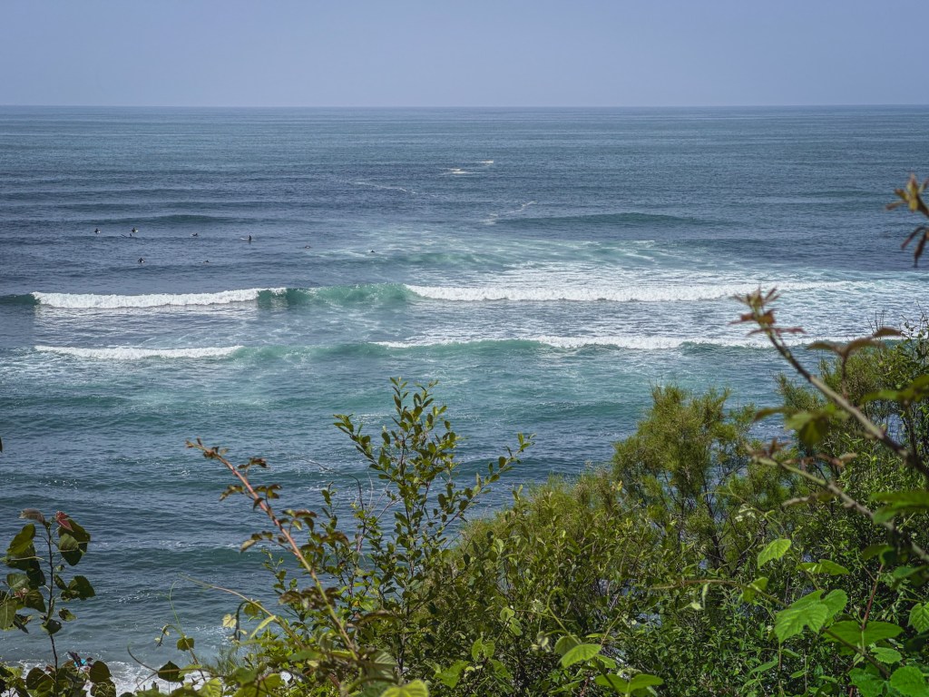
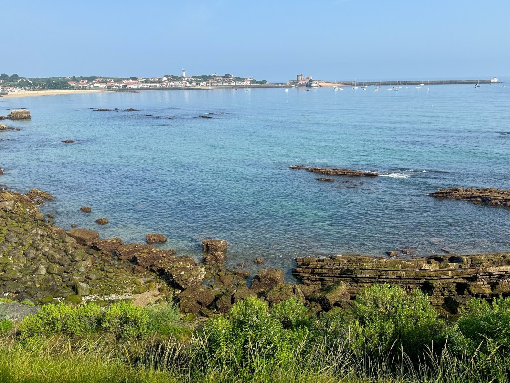
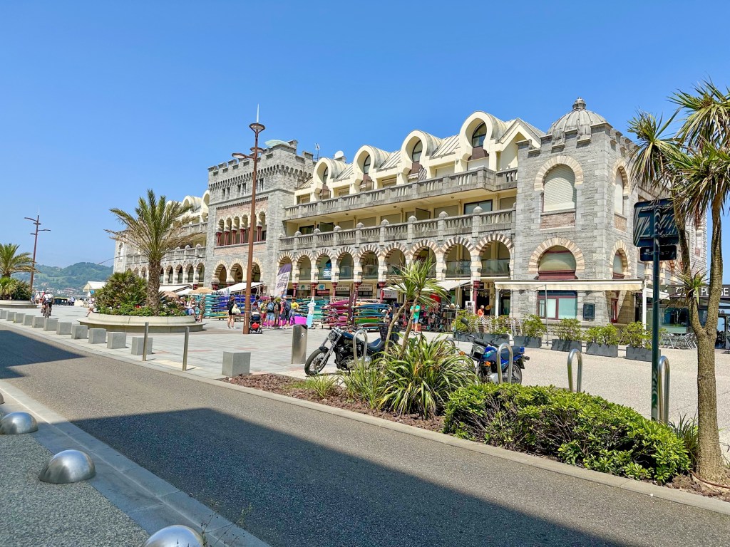
Upon reaching the town of Hendaye, we took a ferry to cross into Spain, we wanted to avoid walking to Irún in the heat and on the asphalt.