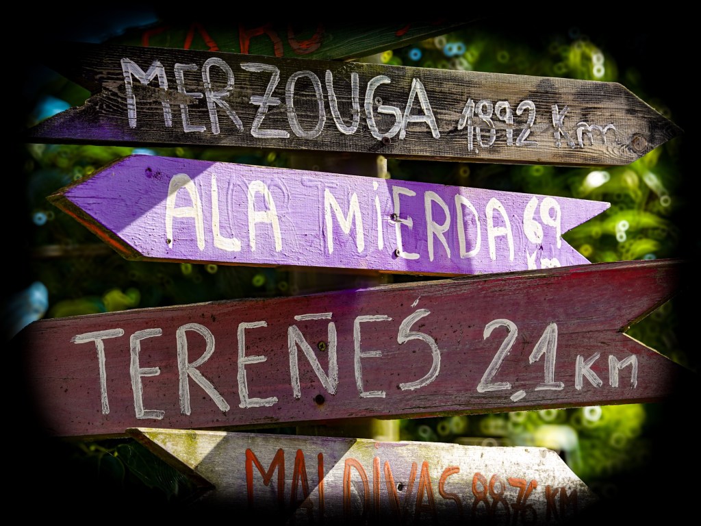
Muros de Nalón to Santa Marina

Muros de Nalón to Santa Marina — 16.01 miles (25.75 km)

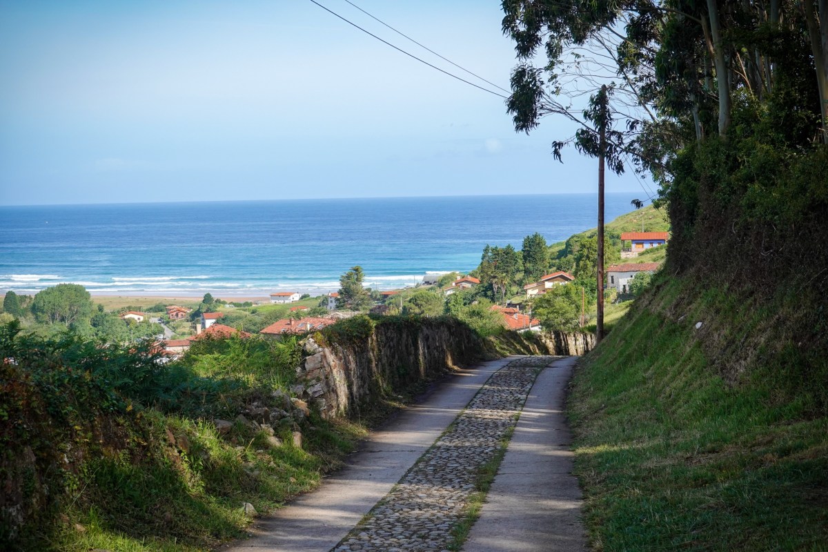
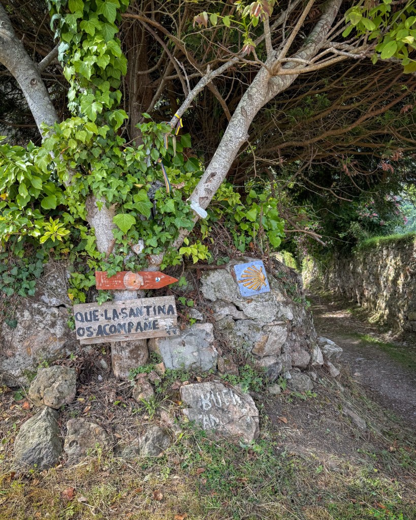
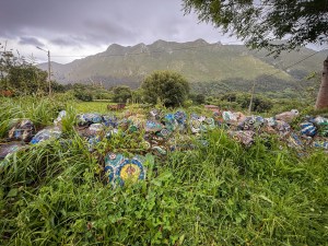
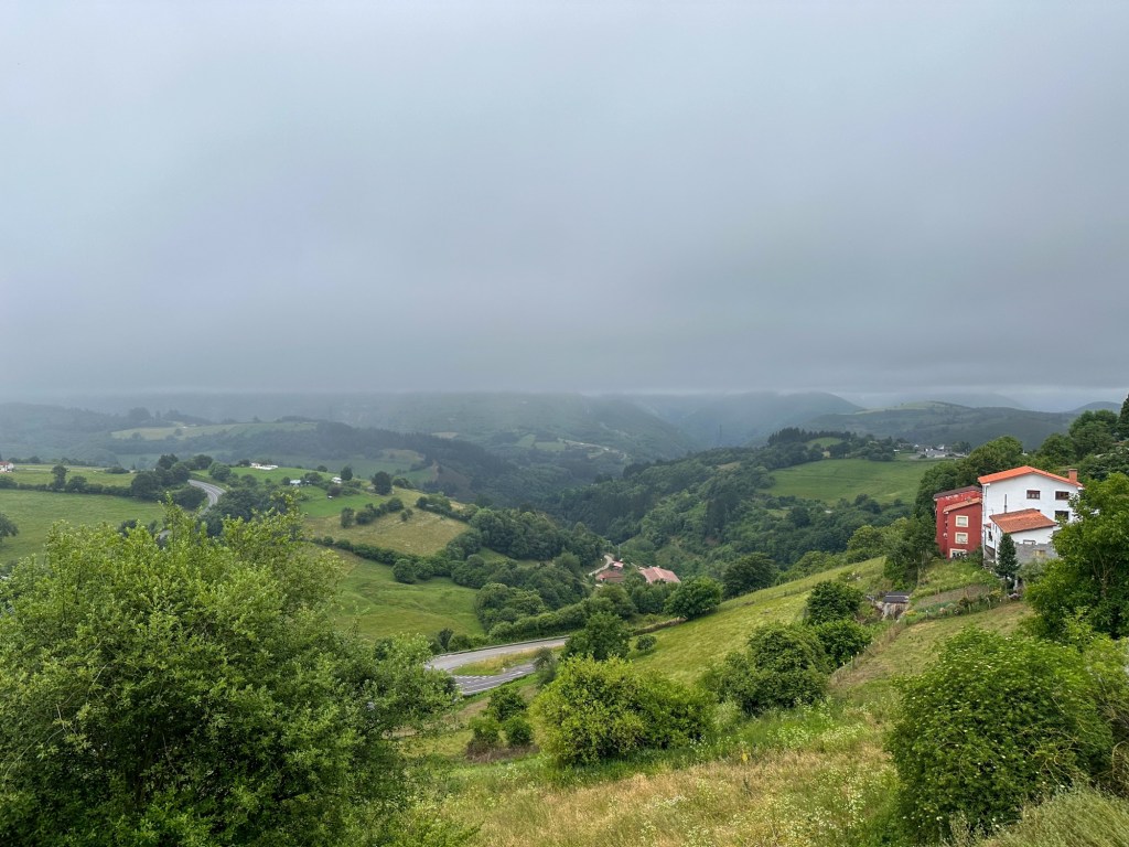
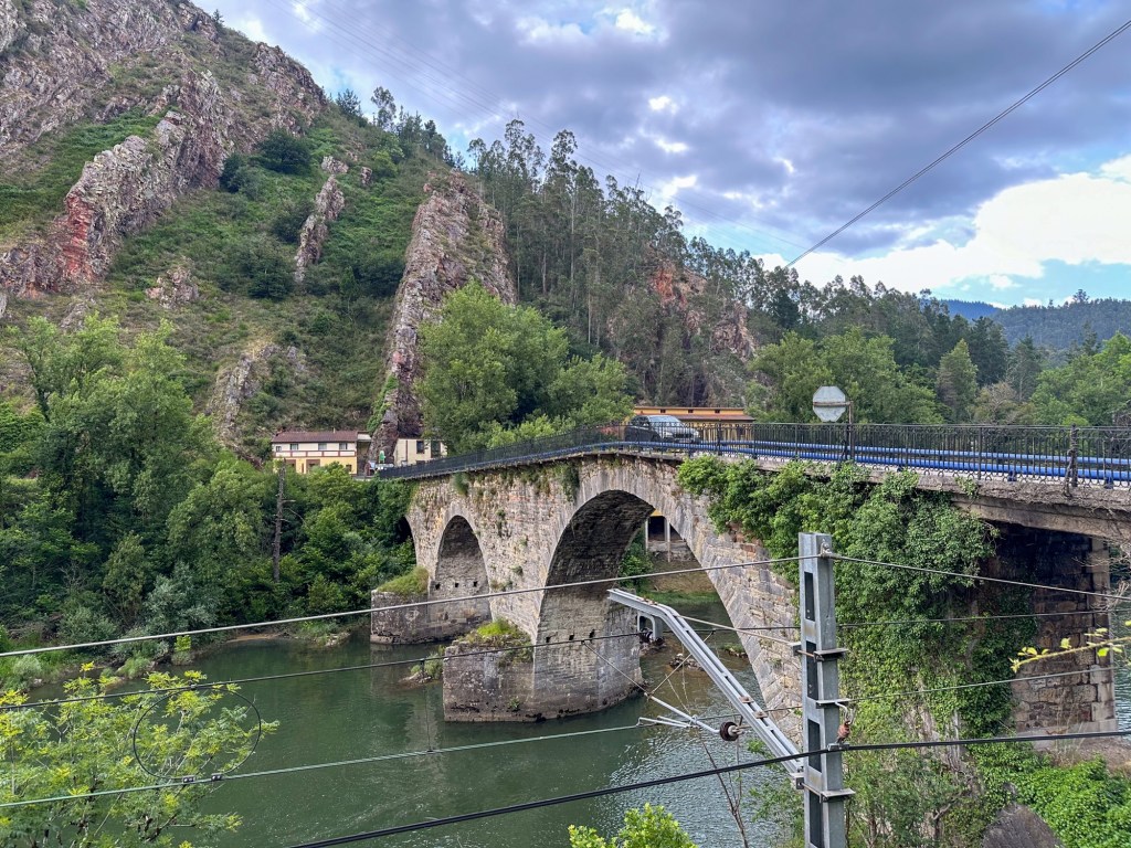
It was one of the hardest days of the journey, with constant climbs and descents. The elevation changes made the stage feel longer and more demanding than the distance alone suggests, but the scenery made the effort worthwhile.

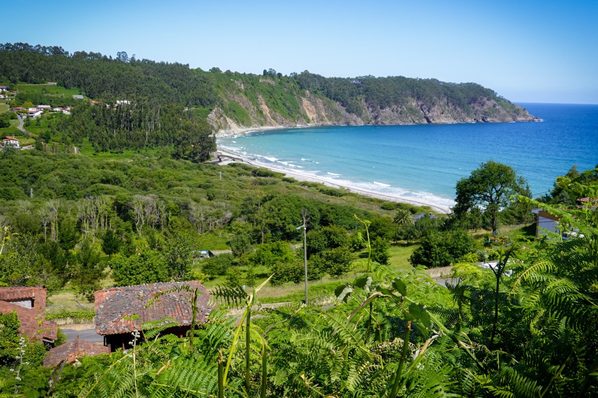
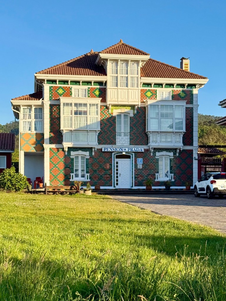
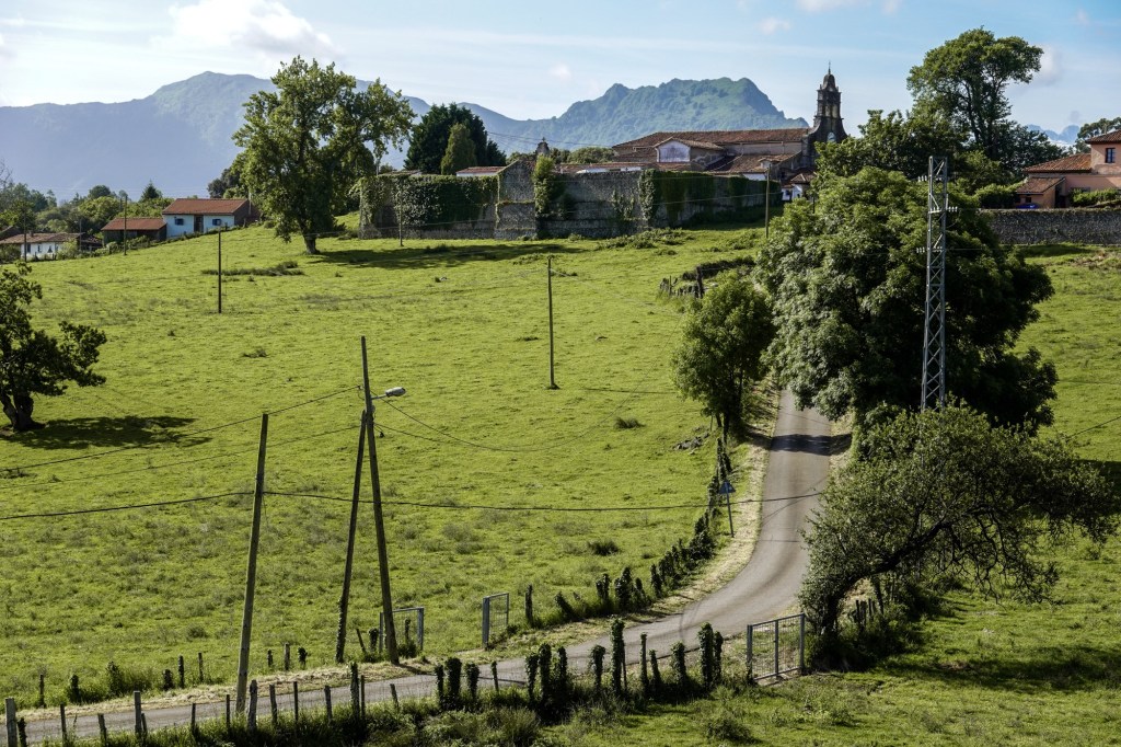
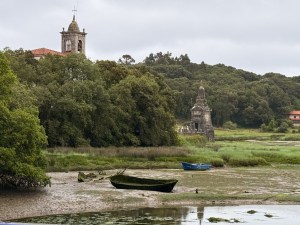
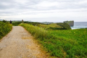
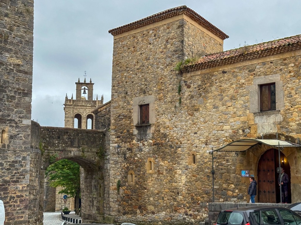
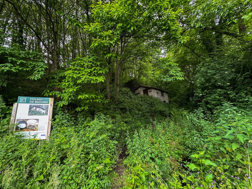
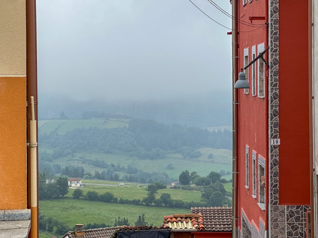
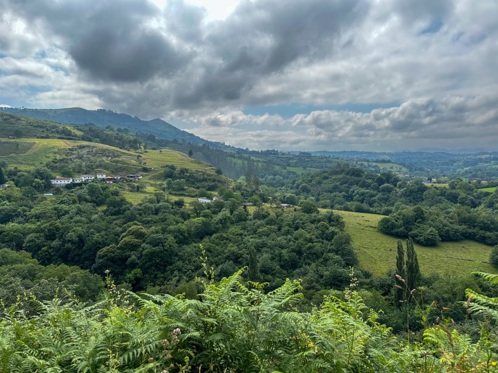
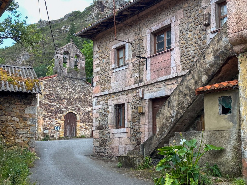
We walked through rural villages and along dramatic cliffs, with a mix of quiet roads, forest paths, and beautiful views of the Asturian coastline. We stayed at Pensión Prada, a charming pilgrim-friendly place in Santa Marina. The owner was very kind, and the warm welcome felt like an example of Asturian hospitality.
Ribadesella to Colunga

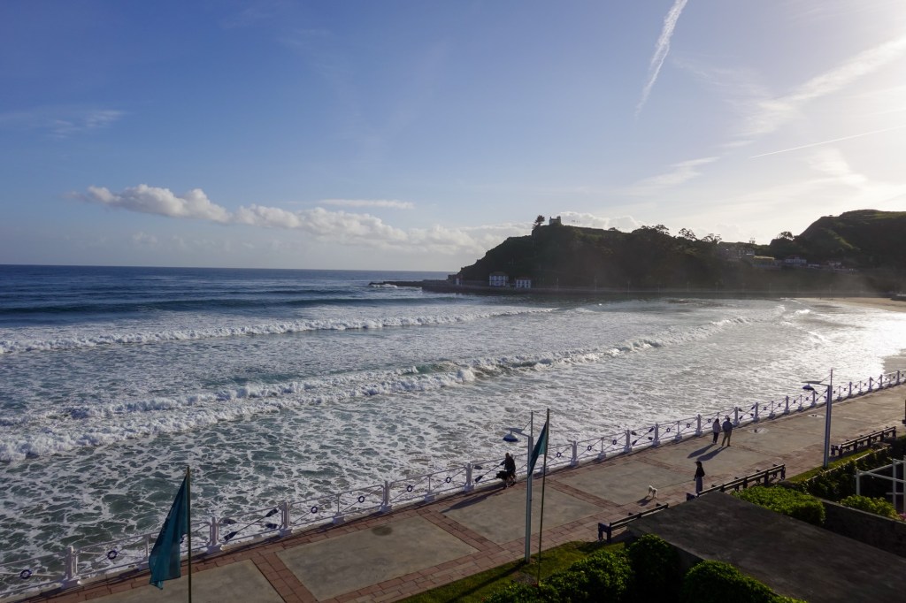
Day 21: Ribadesella to Colunga – 12 miles (19 km) Today, along the way, we met a group of five French pilgrims who, like us, started walking El Camino del Norte last year and are planning to arrive in Santiago in a few weeks. 

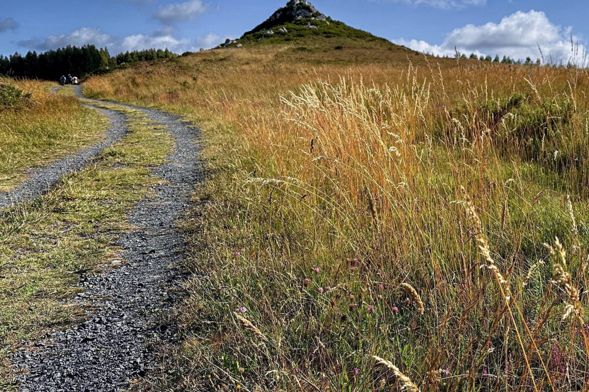
The journey today took us through valleys and cliffs. There were more cyclists on the trail, and this year it is common to see them on electric bikes.  

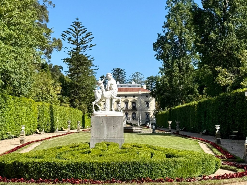
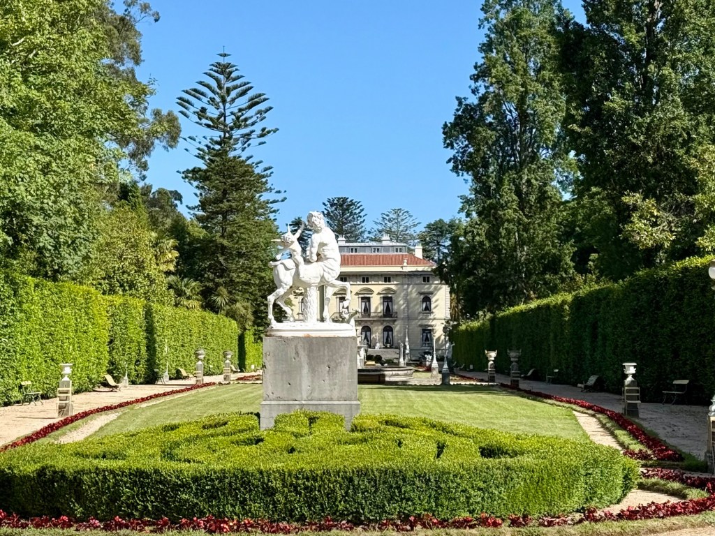
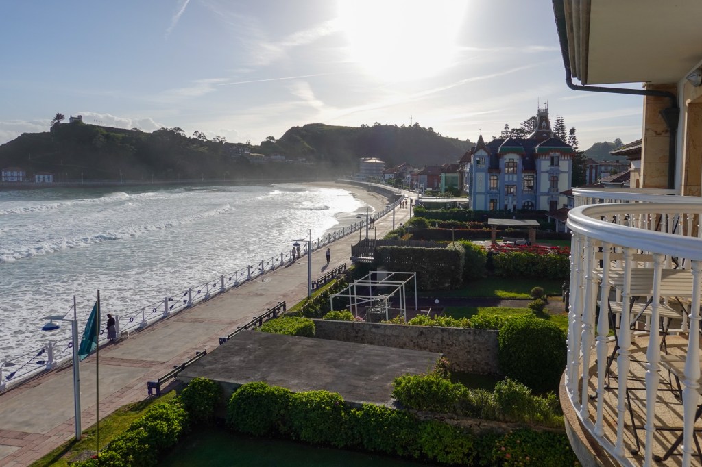
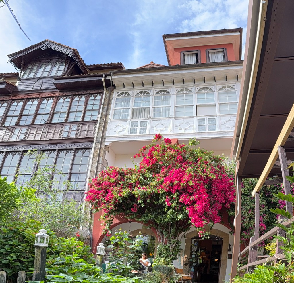
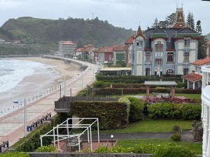
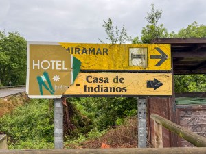
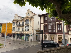
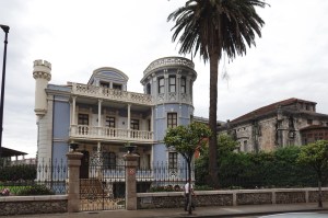
We spent the night in a small hotel that was once the home of an Indiano. In this region, the legacy of the Indianos still lingers in street names, restaurant names, and in the mansions that appear unexpectedly in small towns. The Indianos were the Spanish who made their fortunes in the Americas and later returned to Spain, especially between the 17th and 18th centuries. With their wealth, many built striking mansions and helped reshape the local economy. Today, some of those mansions are hotels, schools, or even museums.   
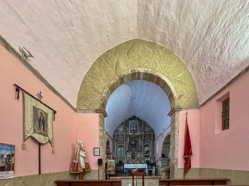
 A local guide explained that many Indianos supported the construction of churches, monasteries, and convents to obtain pardon from the Church for sins committed in the Americas. It was one of those details that made you want to look more closely into the history behind these buildings.  

Llanes to Ribadesella

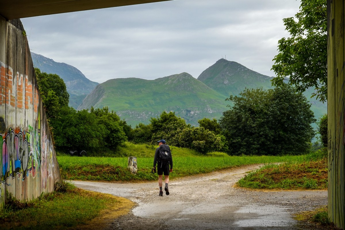
Day 20 (2026), we walked from Llanes to Ribadesella, 20 miles (32 km). The hike was easy but long; there was some confusion with the itinerary and Google Maps. We thought the hike was only 23 km today, but it ended up being 9 km more, taking two extra hours. At least the weather was pleasant. We walked alongside the Picos de Europa mountain range, which we didn’t have to climb today, and we admired the breathtaking views of the cliffs and the ocean.

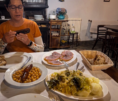
We had an interesting dinner at a local bar whose owners are Mexican descendants and whose menu is a fusion of Spanish and Mexican cuisines.


A Ponte Ferreira to Melide

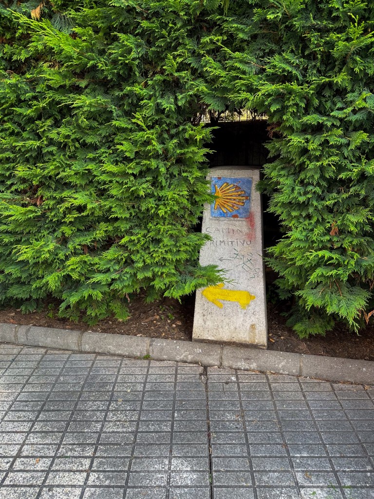
El Camino primitivo

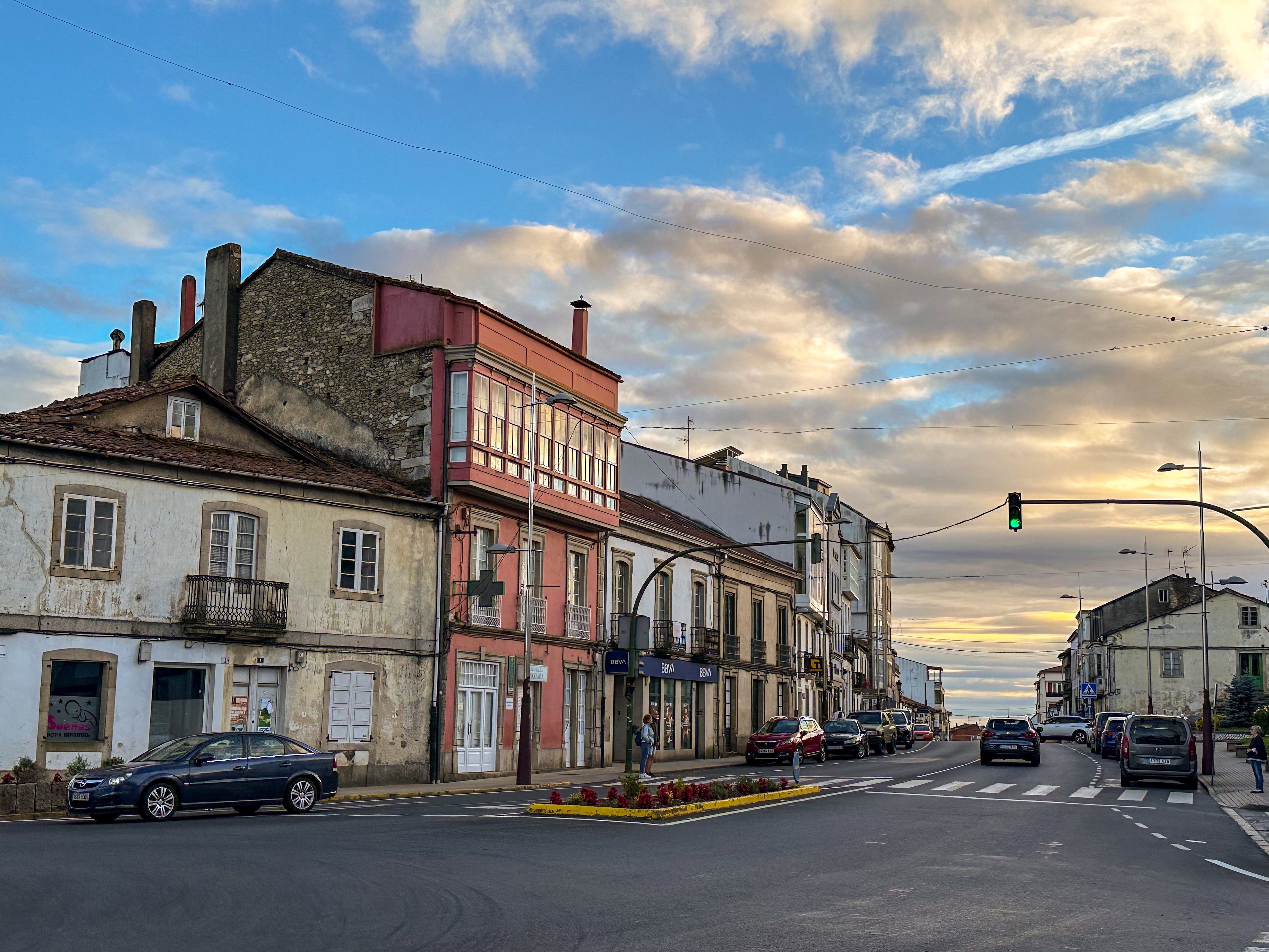
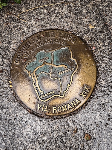
Today, we hiked about 20 km to Melide from Ponte Ferreira. We crossed a historic Roman bridge outside Ponte Ferreira, and at this point, I lost track of how many Roman or archeological zones we passed en route to Santiago.

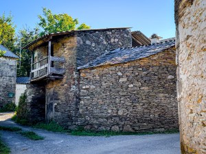
The hike was easy. We walked through rural towns and villages, and a sense of tranquility was around us. We are approaching Melide, where the French Way and El Camino Primitivo cross. The trail will be busy in the coming days with people doing the last 100 km and those doing the French Way. Today is the last day to enjoy a quiet hike.

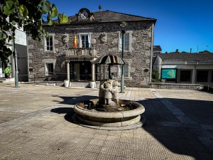
We arrived in Melide around lunchtime. It was busy; it was market day, and hundreds of pilgrims were walking on the streets. Some would spend the night here, and others were walking through. I have a feeling about how our hike will be tomorrow.

Lugo to A Ponte Ferreira

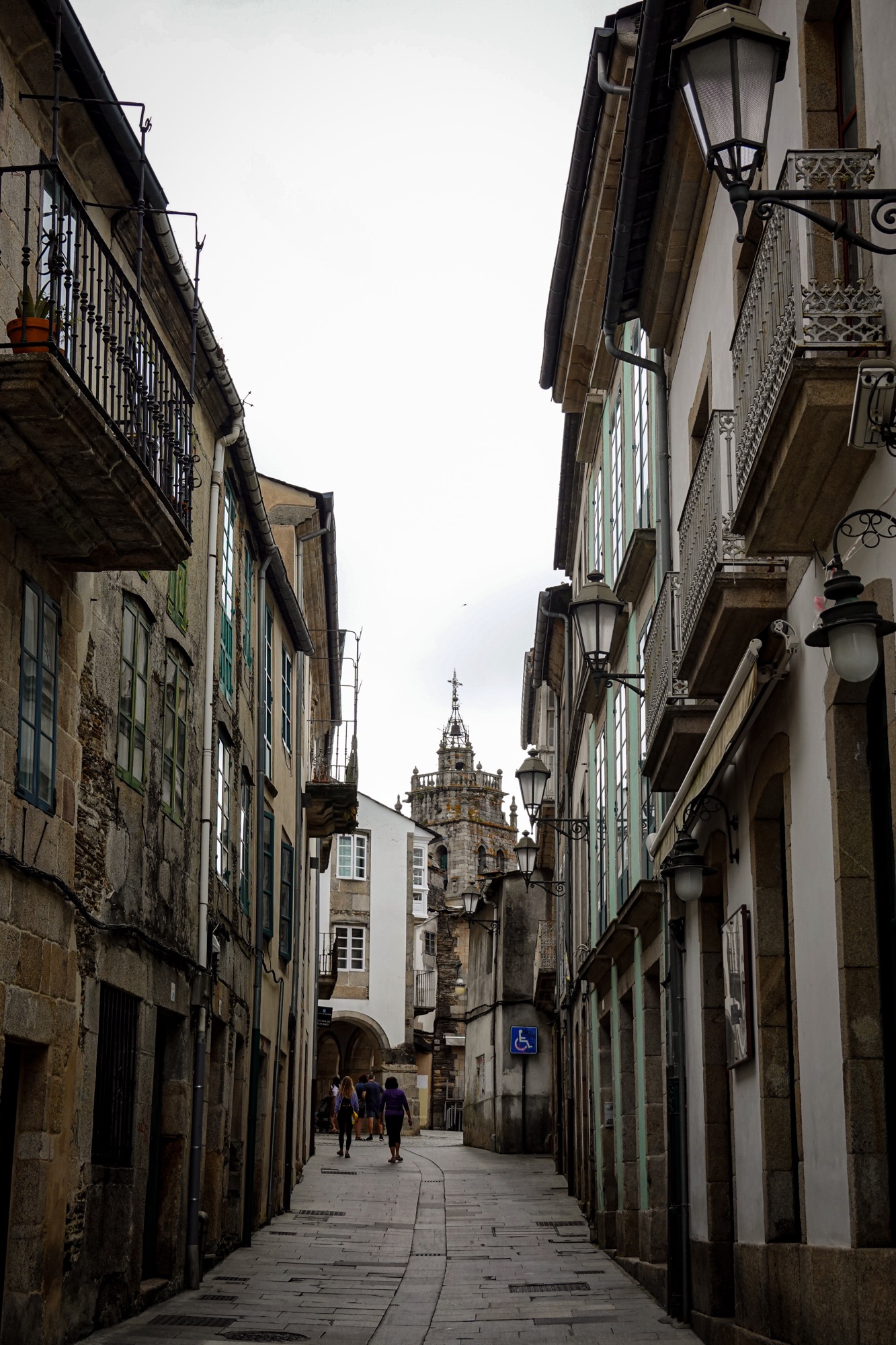
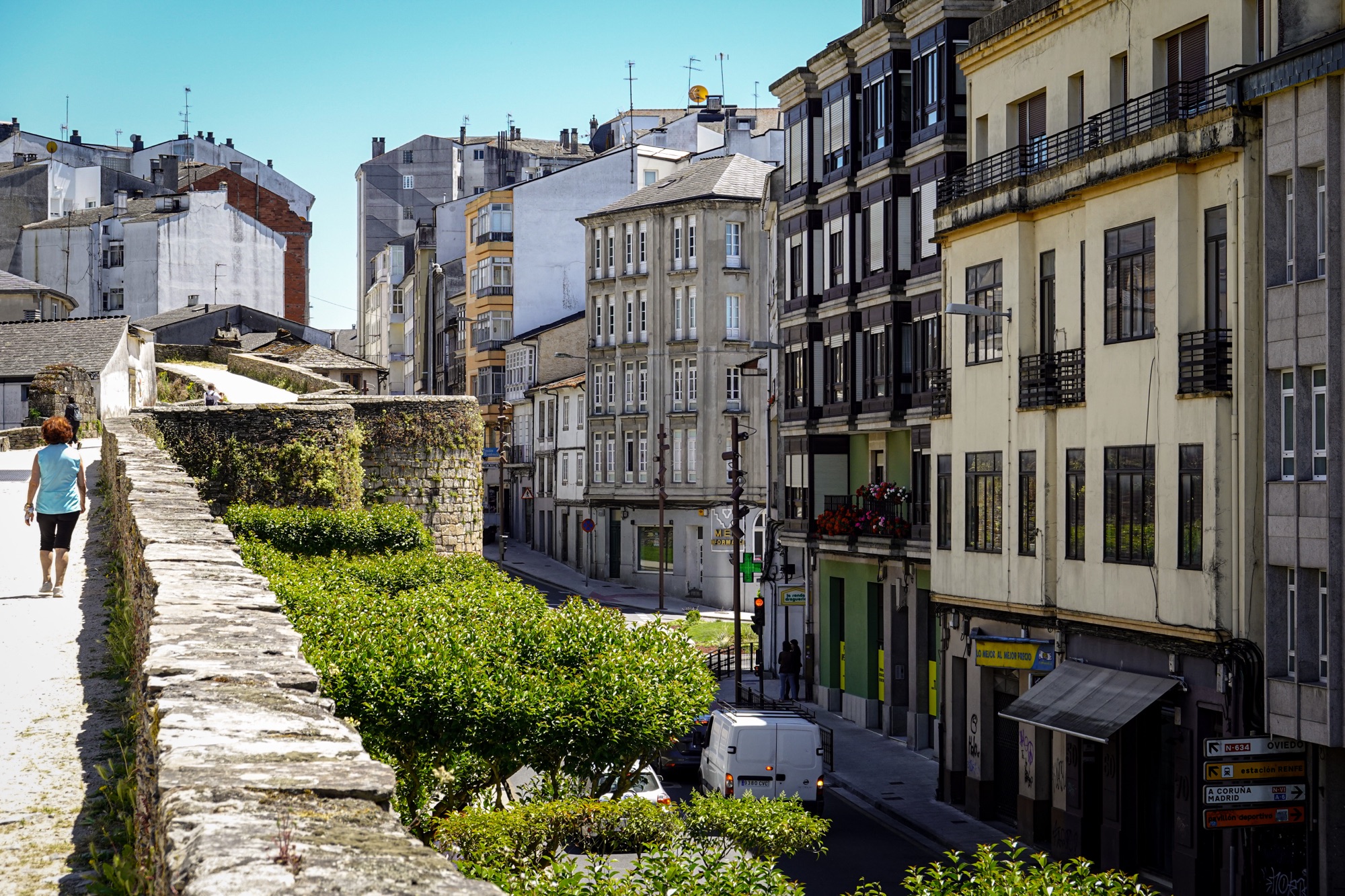
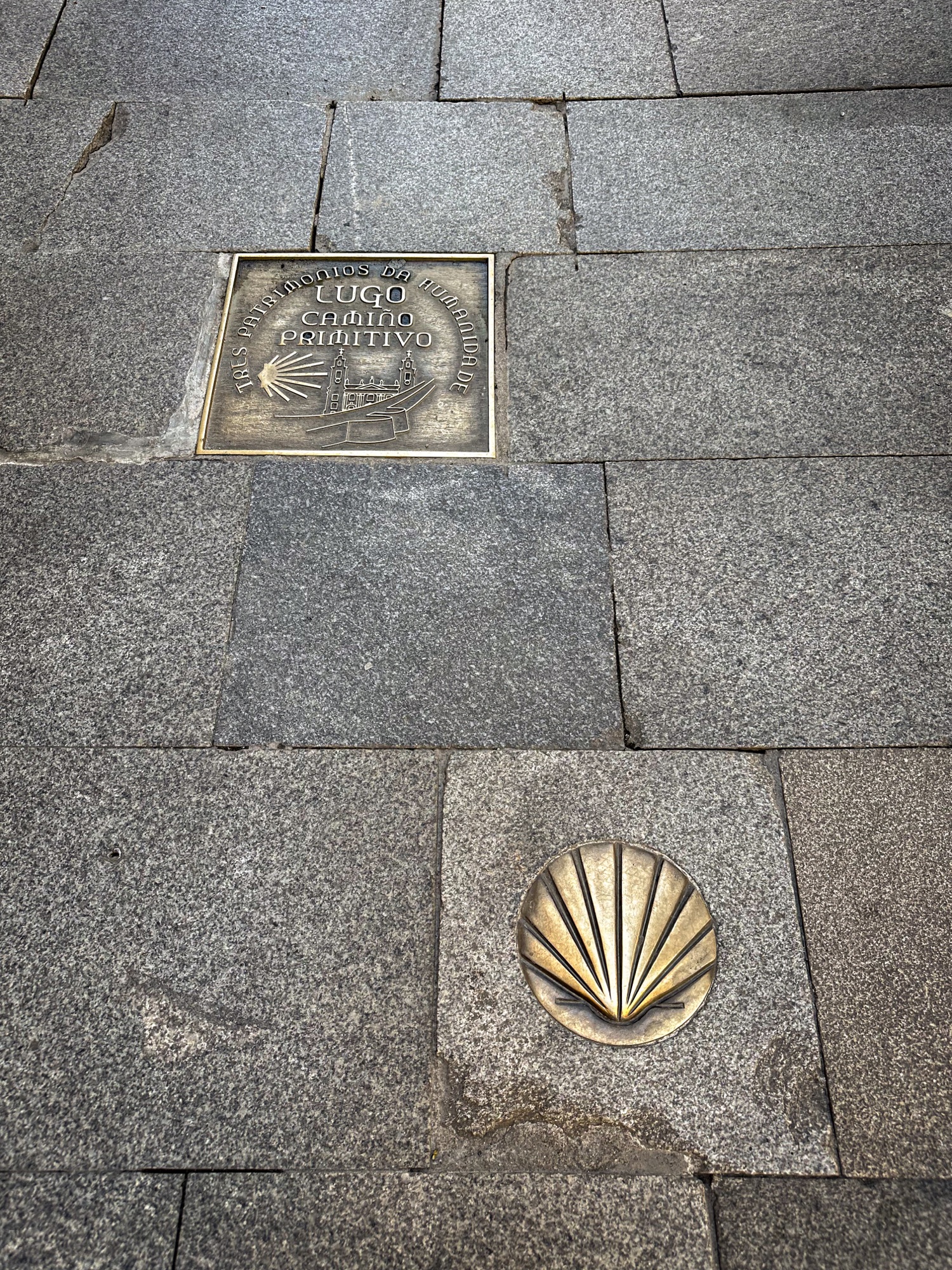
We spent one day in Lugo and had the opportunity to tour this walled city and learn about its importance during the Roman Empire.

In Lugo, several people have begun their journey to Santiago. We found more people and groups of recent high school graduates on the trail. Unfortunately, this group has been the loudest and listening to music on the trails.

The trails are now flat, with very little change in altitude, as in the Asturias area. Today is Sunday, and several bars and restaurants are closed, making it impossible to find a place to rest and drink coffee. We only found one restaurant, where we had to wait about 45 minutes until they opened the kitchen. While waiting, a group of English hikers told us that two of their friends had been attacked by a loose dog, and they had to call an ambulance to take them to the hospital.

In all the Caminos we have done, this is the first time we have heard of a dog attacking hikers on the trail.

O Cadavo to Lugo

Today, we completed our longest hike, covering 19.2 miles (32 kilometers) from O Cadavo to Lugo on the Camino Primitivo. This section of the Camino de Santiago offers a blend of natural beauty and cultural heritage.

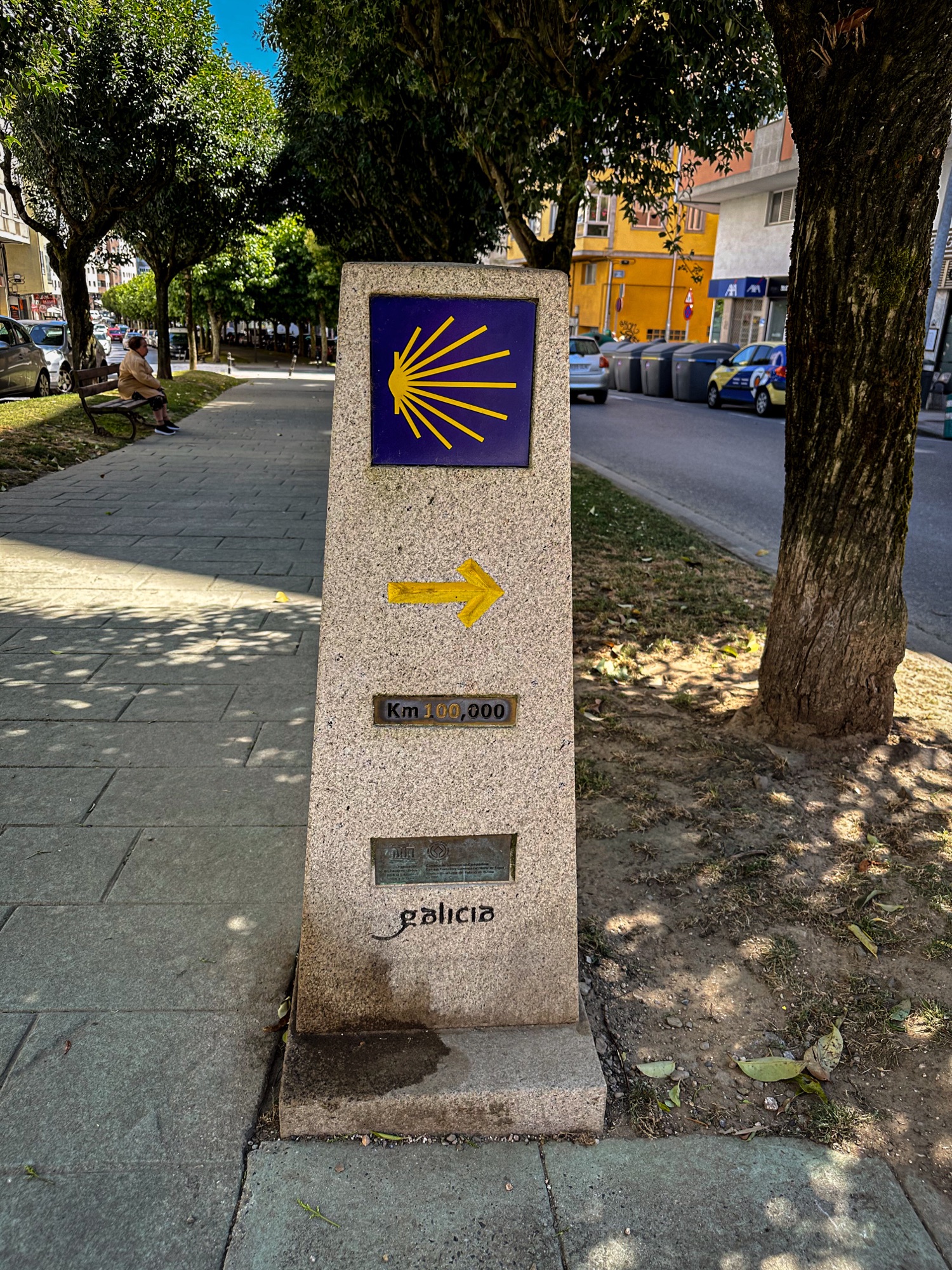
We still have approximately 100 kilometers (about 62 miles) left to reach Santiago. Along our journey, we’ve had the opportunity to meet fellow hikers with diverse motivations for making this pilgrimage. Some seek spiritual enlightenment; the challenge of physical endurance draws others, while many are simply pursuing adventure. It’s been gratifying to share the path with various people. My daughter has kept a list of the people she’s met and their countries of origin. As a fun fact, she was the first to predict who would fall in love on “El Camino.”

We plan to take a break in the historic city of Lugo tomorrow. Lugo, originally a Roman settlement dating back to the year 25, is known for its well-preserved Roman walls and rich history. It is worth a visit.

Oviedo to Grado

The first stage of El Camino Primitivo is 28 km/17 miles. 

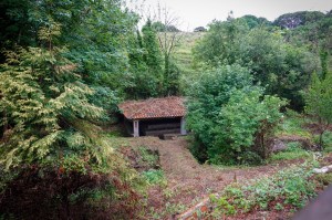
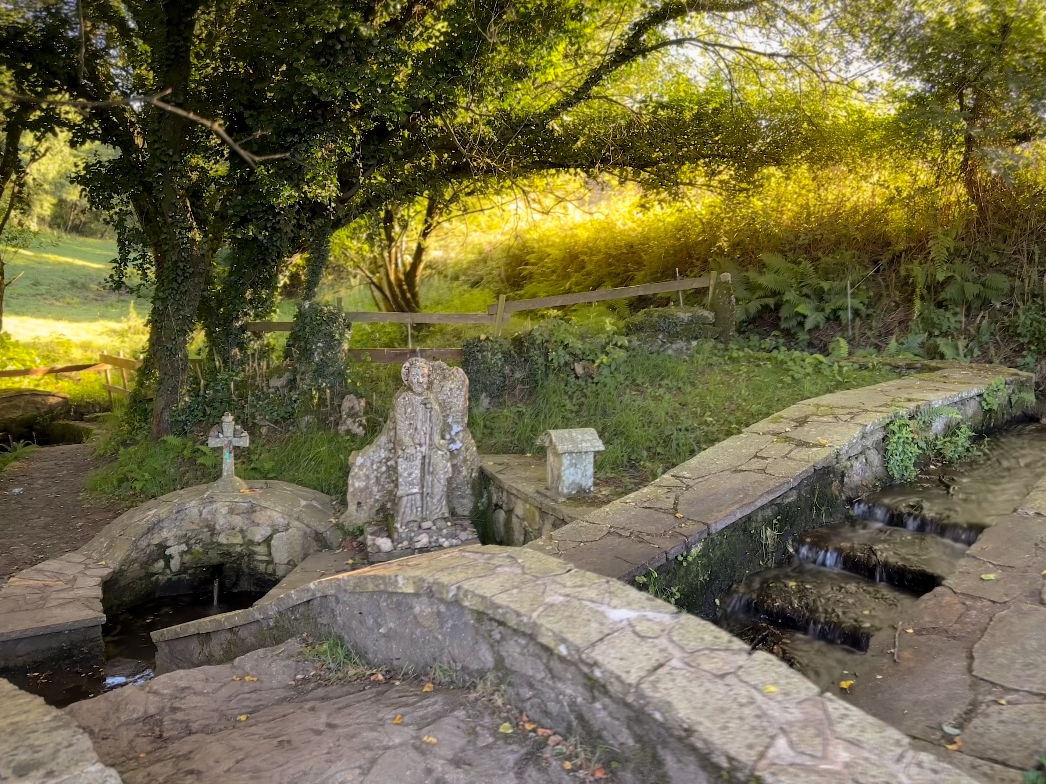
We were very excited to start the journey to Santiago. After we left Oviedo, we entered the forest. Most of the walk was easy. We walked through farms, saw several town washhouses, and crossed ancient bridges, including the bridge Peñaflor over río Nalon, built in the 12th century, where the Spanish and Napoleon’s troops fought during the war. Also, we encountered the remains of a Roman house.

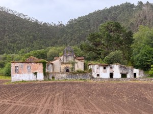
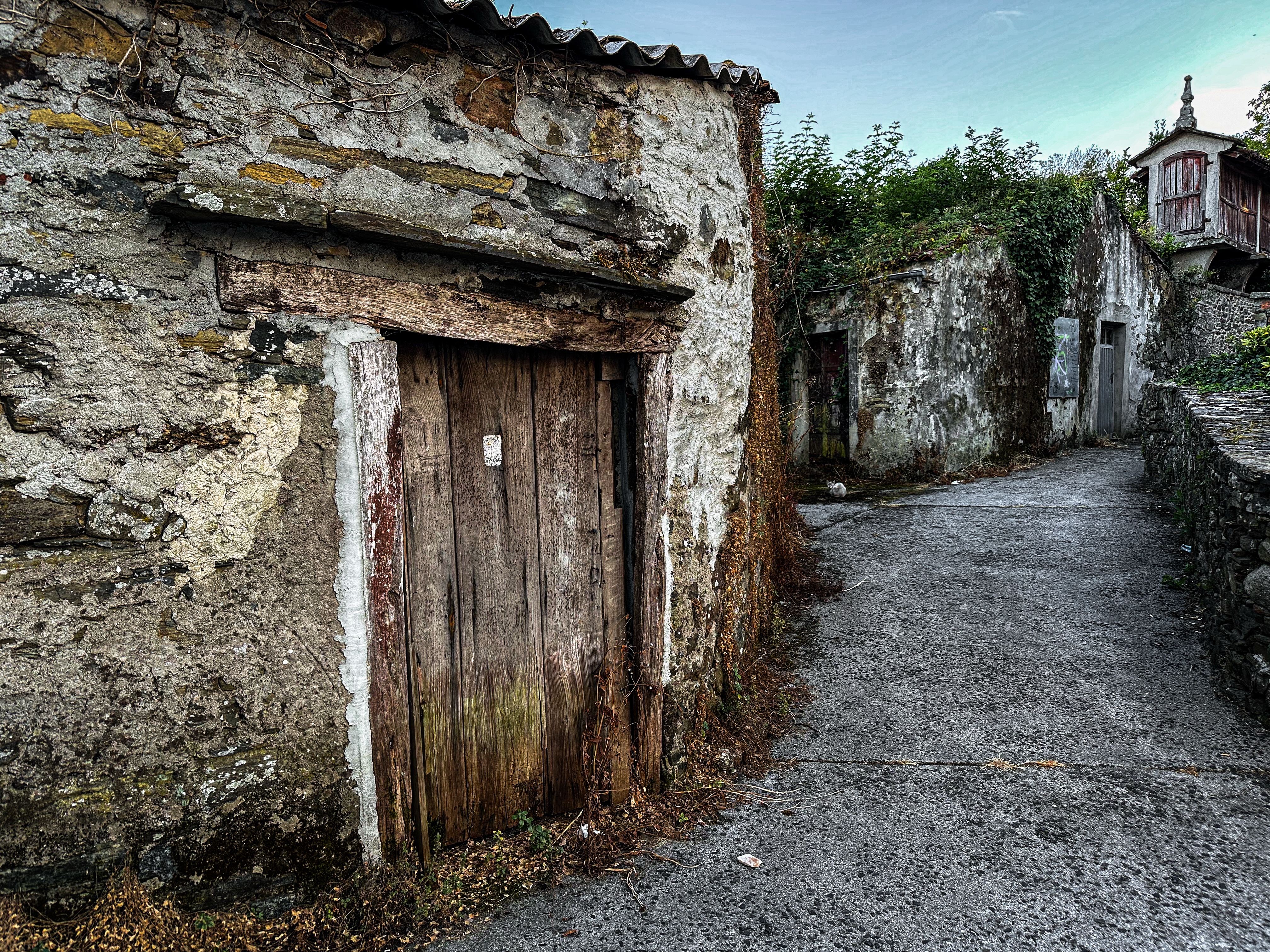
 As we walked through the villages today, the number of abandoned houses struck us, each a silent testament to the passage of time.


San Francisco Crosstown Trail

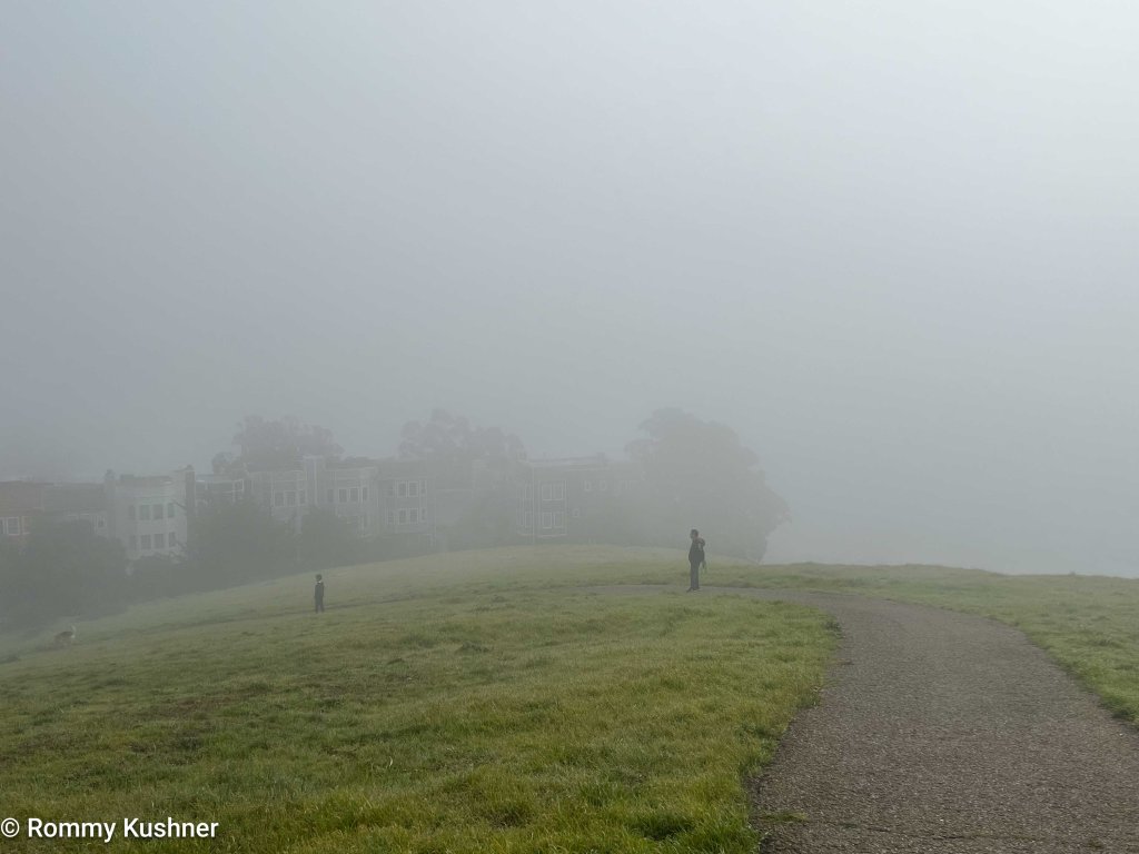
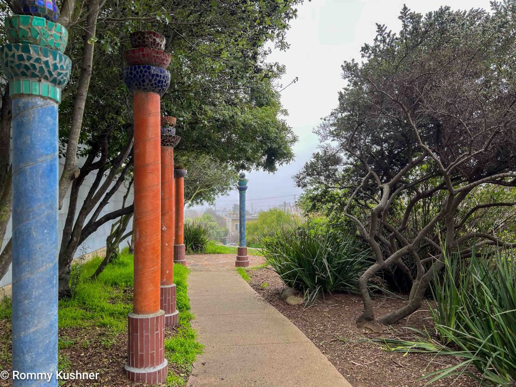
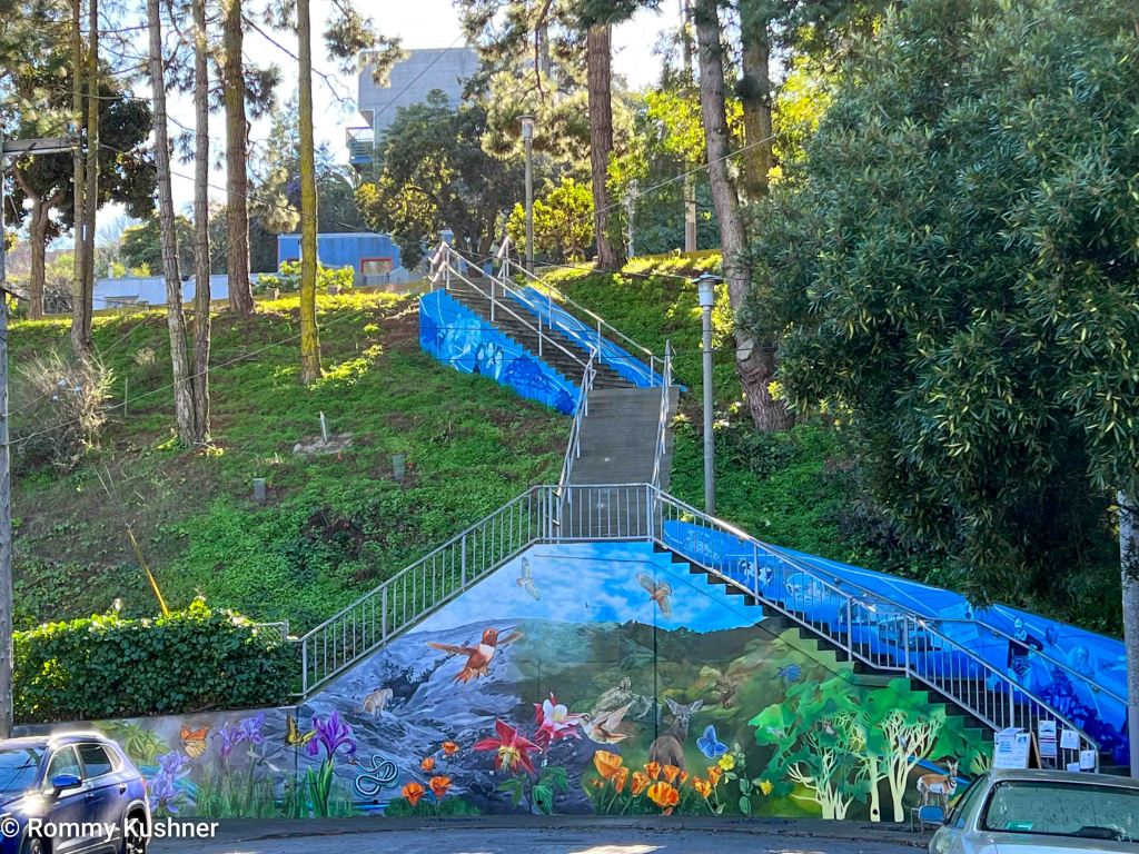
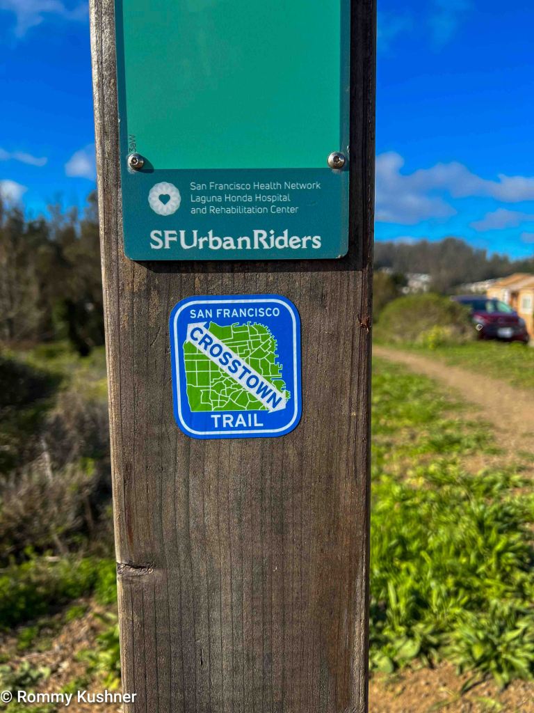
The San Francisco Crosstown Trail stands out as an extraordinary urban exploration that allows visitors and locals alike to discover the hidden beauty of San Francisco. The hike will take you through bustling streets, scenic parks, and neighborhoods, providing an experience of the city’s culture and natural surroundings.

The Crosstown Hike spans approximately 17 miles across San Francisco. Although it can be completed in a single day, it is highly recommended that you take time to fully absorb the sights and sounds along the way.

Overview

Starting Point: Section 1: Candlestick Point, Visitacion Valley, McLaren Park

The trail begins at Candlestick Park State Recreation Area, near the former location of the Giants and 49ers. The path then guides you through the Visitacion Valley Greenway, a series of community parks and gardens serving as both an outdoor learning space and a focal point for the neighborhood. Lastly, you will stroll through McLaren Park, the city’s third-largest park.

Section 2: Glen Park Greenway, Glen Canyon Park, Laguna Honda Trail

Sixty acres of rehabilitated natural environment at Glen Canyon Park and navigate the rejuvenated Laguna Honda Community Trail System.

Section 3: Golden Gate Heights Park, Grandview Park, Tiled Stairways

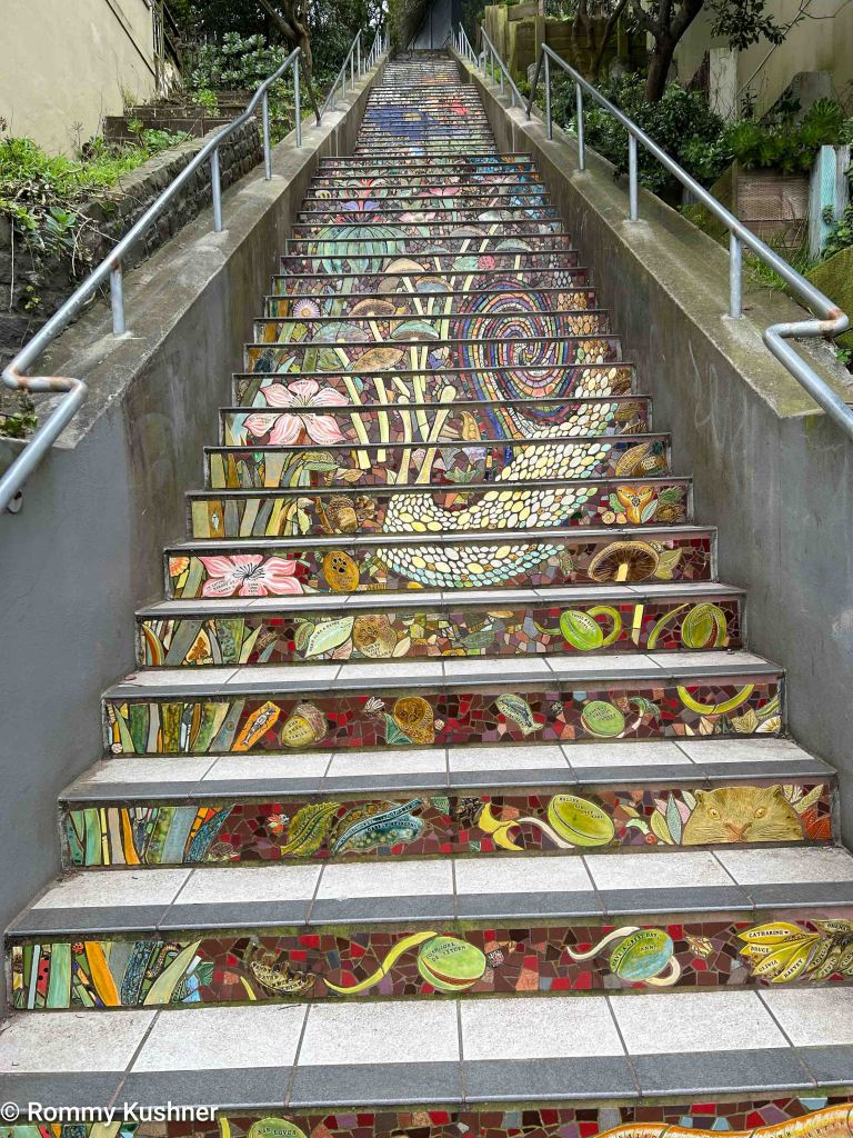
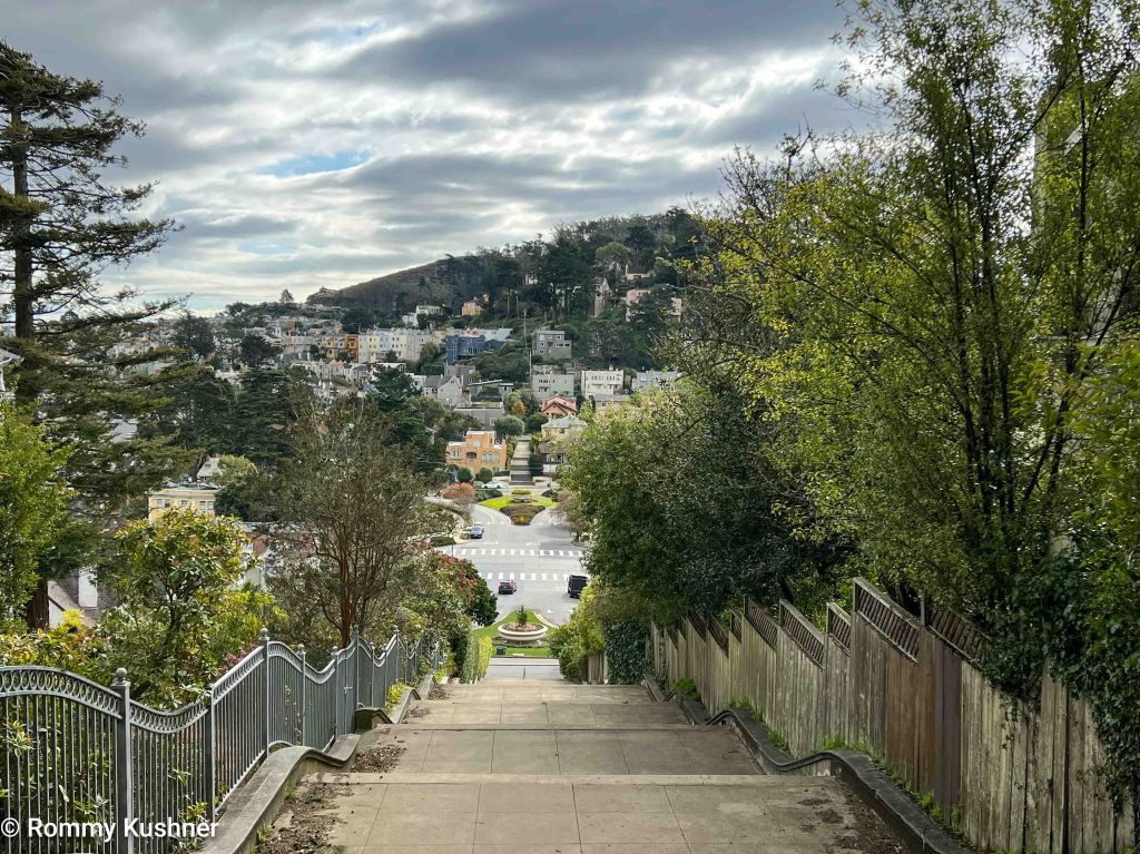
Take a moment to admire the expansive views of Grandview Park in Golden Gate Heights and the 16th Avenue Tiled Steps.

Section 4: Blue Heron Lake, Rose Garden, Park Presidio Boulevard

Walk through the eastern part of Golden Gate Park. Once you’ve circled Blue Heron Lake, you’ll arrive at the park’s Rose Garden. You’ll be directed to Park Presidio Greenway when you leave the park.

Section 5: Presidio, Sea Cliff, Lands’ End

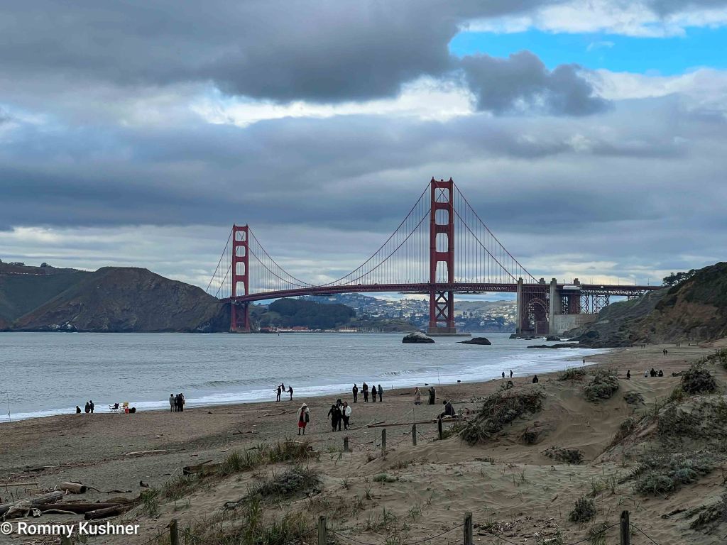
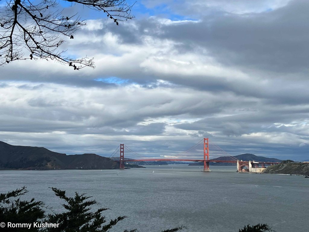
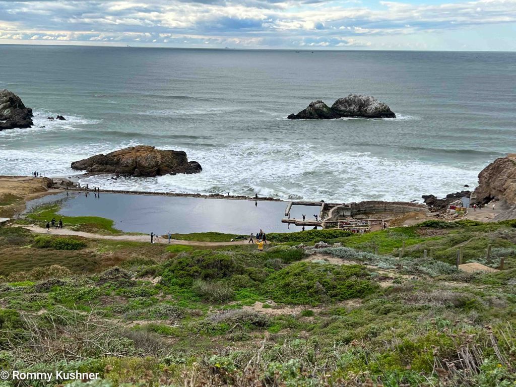
The last part of the trek guides you to Land’s End, an untamed coastal region providing stunning views of the Pacific Ocean. Walk along picturesque paths that lead to the Sutro Baths. This historic complex was once a lavish public bathing facility.